Night Life
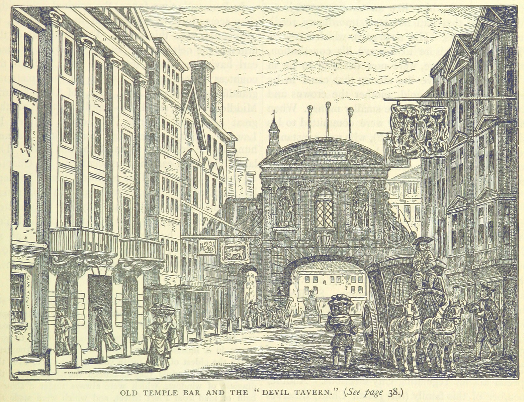
The Devil Tavern
London, United Kingdom
The Devil Tavern, whose full sign was The Devil and Saint Dunstan, was a tavern at number 2, Fleet Street in London, near the Temple Bar. It existed from the reign of James I (1603–25) until it was demolished in 1787 by Child & Co. to expand their banking premises.
- Category
- Night Life
- Location
- London, United Kingdom
- Coordinates
- 51.51370, -0.11170
- How to get there
- Google MapsApple MapsOpenStreetMap
- Wikidata
- Q118868649
What is The Devil Tavern?
The Devil Tavern is a Night Life place on VeroMaps. Other places close by: The Old Bank of England, The Devereux, The Edgar Wallace, The Cheshire Cheese.
Where is The Devil Tavern?
The Devil Tavern is in London, United Kingdom. Coordinates: 51.51370, -0.11170.
How do I get to The Devil Tavern?
The Devil Tavern is at London, United Kingdom (51.51370, -0.11170). Enter these coordinates in Google Maps, Apple Maps or OpenStreetMap for walking, cycling or driving directions.