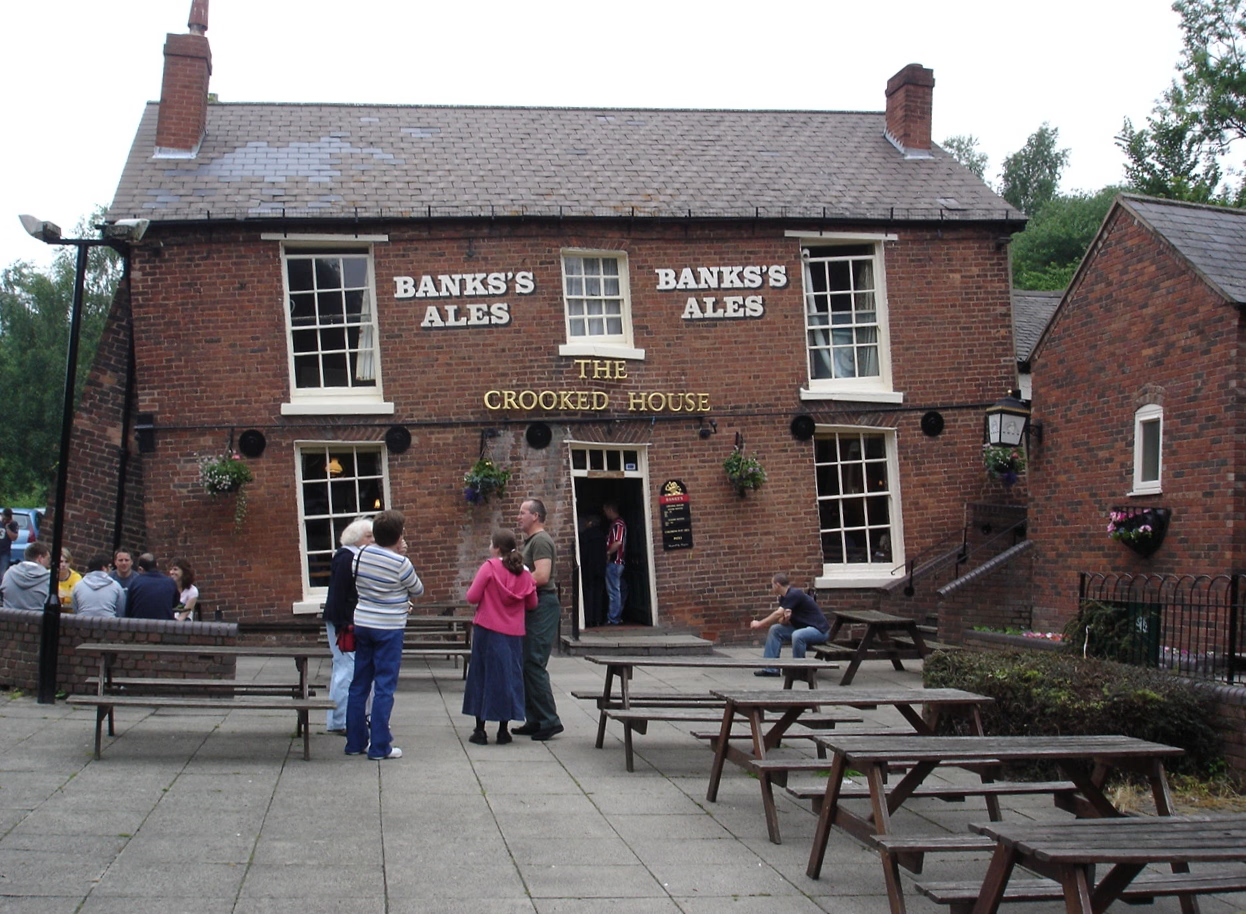
Night Life
The Crooked House
Oxford, United Kingdom
The Crooked House was a pub in South Staffordshire, England. Its name and distinctive appearance were the result of 19th-century mining subsidence which caused one side of the building to be approximately 4 feet (1. 2 m) lower than the other.
- Category
- Night Life
- Location
- Oxford, United Kingdom
- Address
- Coppice Mill, Oxford
- Coordinates
- 52.51500, -2.15200
- How to get there
- Google MapsApple MapsOpenStreetMap
- Wikidata
- Q7728155
What is The Crooked House?
The Crooked House is a Night Life place on VeroMaps, on Coppice Mill. Other places close by: Ketley Claypit, Doulton's Claypit, Hail to the Ale, Sandwell Valley RSPB reserve.
Where is The Crooked House?
The Crooked House is in Oxford, United Kingdom. Coordinates: 52.51500, -2.15200.
How do I get to The Crooked House?
The Crooked House is at Coppice Mill, Oxford, United Kingdom (52.51500, -2.15200). Enter these coordinates in Google Maps, Apple Maps or OpenStreetMap for walking, cycling or driving directions.