Photo corners
The Broads
Lingwood, United Kingdom
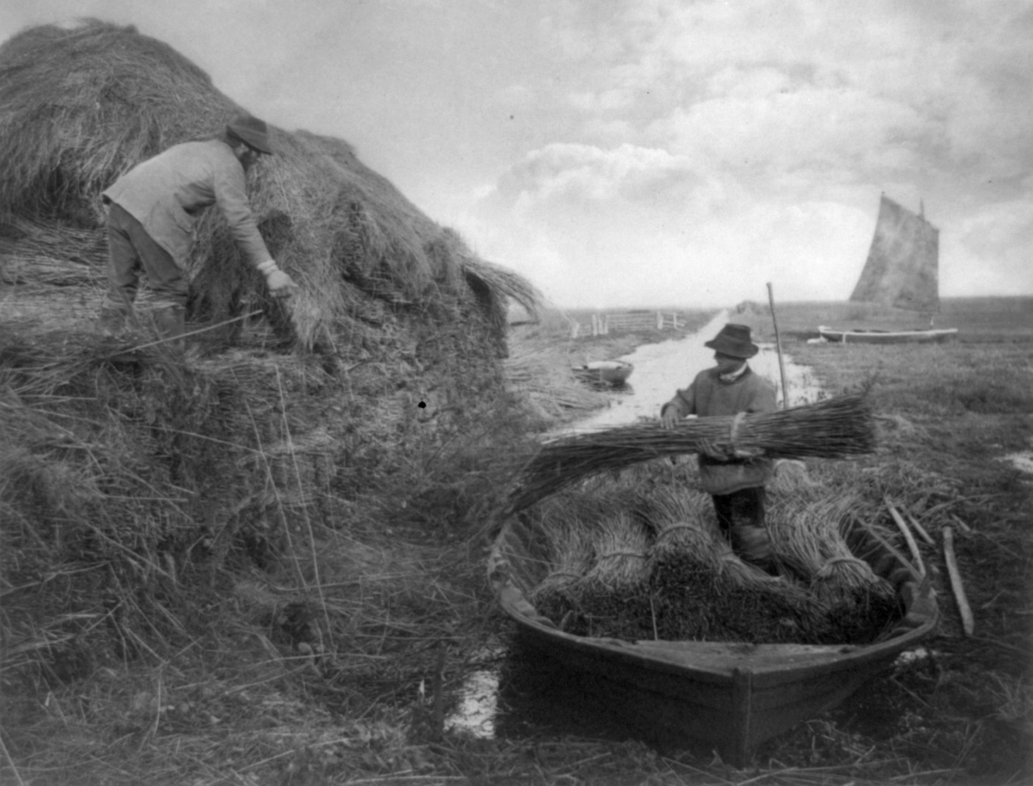
The Broads (known for marketing purposes as The Broads National Park) is a network of mostly navigable rivers and lakes in the English counties of Norfolk and Suffolk.
- Category
- Photo Spots
- Location
- Lingwood, United Kingdom
- Coordinates
- 52.66667, 1.50000
- How to get there
- Google MapsApple MapsOpenStreetMap
- Wikidata
- Q1999046
What is The Broads?
The Broads is a Photo Spots place on VeroMaps. Other places close by: Ranworth Broad, Buckenham Marshes RSPB reserve, Berney Marshes RSPB reserve, Caister Castle.
Where is The Broads?
The Broads is in Lingwood, United Kingdom. Coordinates: 52.66667, 1.50000.
How do I get to The Broads?
The Broads is at Lingwood, United Kingdom (52.66667, 1.50000). Enter these coordinates in Google Maps, Apple Maps or OpenStreetMap for walking, cycling or driving directions.