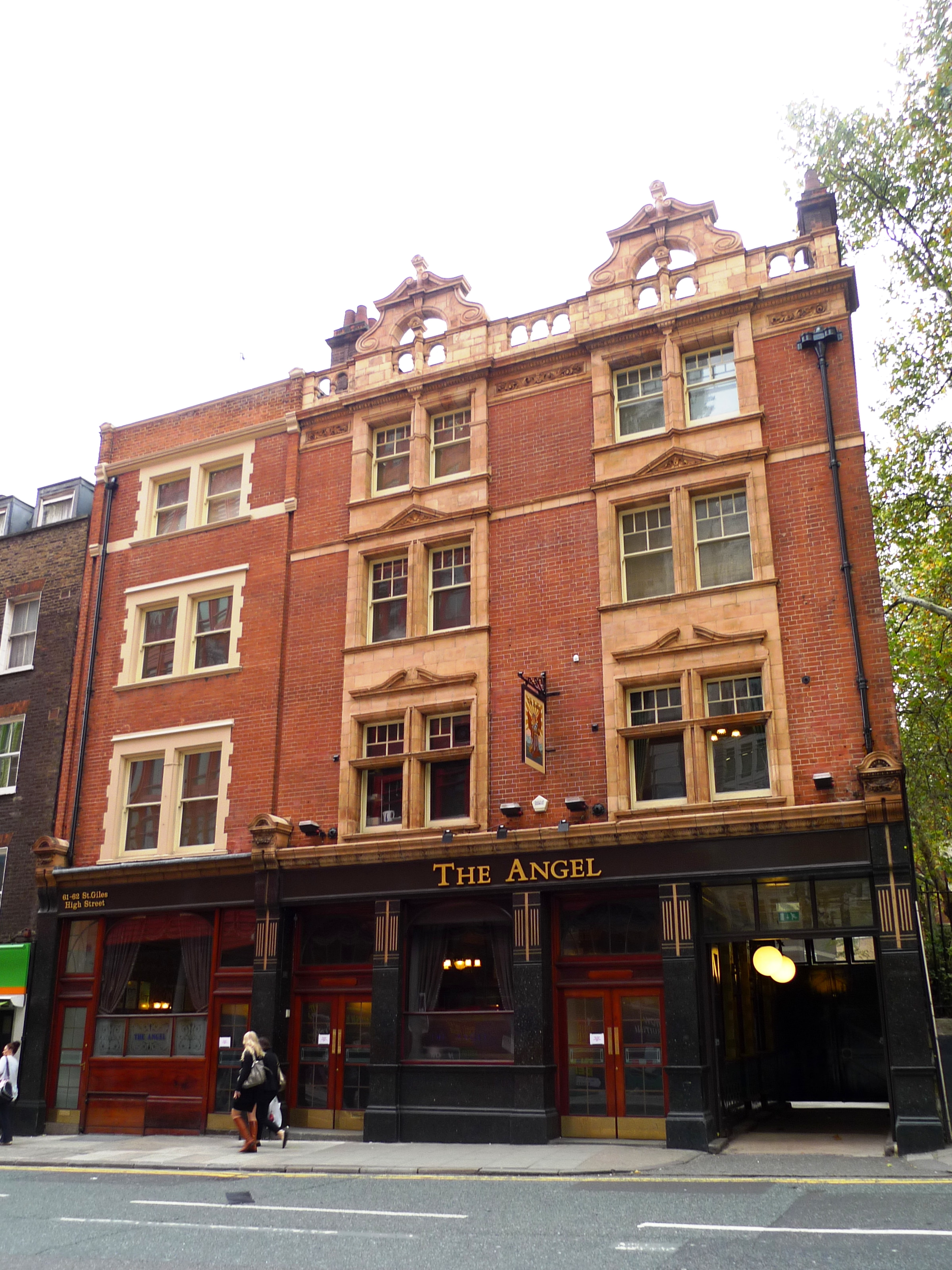
Night Life
The Angel, St Giles High Street
London, United Kingdom
The Angel is a historic public house and former coaching inn on St Giles High Street, in the St Giles district of the West End of London. First mentioned by name on the historical record in 1546, it almost certainly existed on this site from an earlier date as one of the Spittal Houses of the Monastery and Hospital of St Giles.
- Category
- Night Life
- Location
- London, United Kingdom
- Address
- The Angel, London
- Coordinates
- 51.51550, -0.12784
- How to get there
- Google MapsApple MapsOpenStreetMap
- Wikidata
- Q117706199
What is The Angel, St Giles High Street?
The Angel, St Giles High Street is a Night Life place on VeroMaps, on The Angel. Other places close by: 12 Bar Club, Covent Garden Hotel, Mon Plaisir, Neal's Yard.
Where is The Angel, St Giles High Street?
The Angel, St Giles High Street is in London, United Kingdom. Coordinates: 51.51550, -0.12784.
How do I get to The Angel, St Giles High Street?
The Angel, St Giles High Street is at The Angel, London, United Kingdom (51.51550, -0.12784). Enter these coordinates in Google Maps, Apple Maps or OpenStreetMap for walking, cycling or driving directions.