Forgotten History
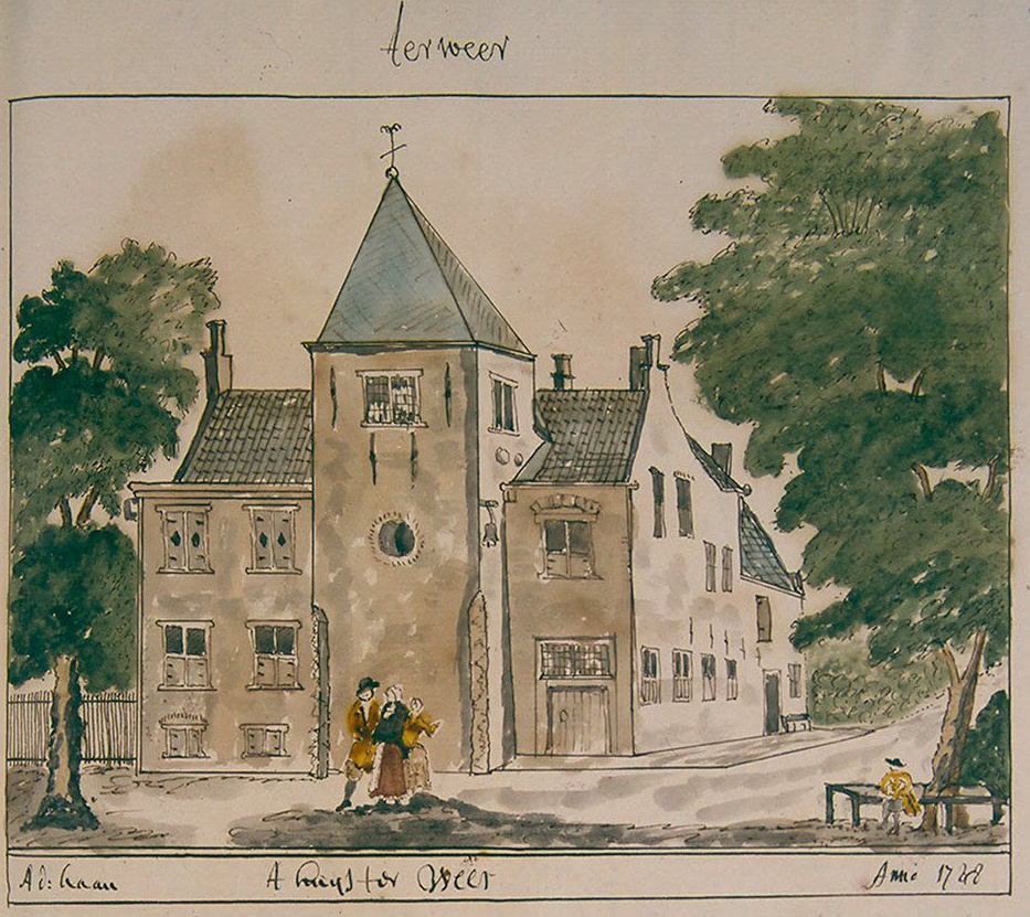
Ter Weer
Wassenaar, Netherlands
Huis ter Weer was a castle in the Dutch town of Wassenaar, South Holland province. No visible remnants of the castle have been preserved in the landscape. The Ter Weer farmhouse that belonged to the castle has been preserved and is a national monument.
- Category
- Forgotten History
- Location
- Wassenaar, Netherlands
- Coordinates
- 52.14753, 4.41581
- How to get there
- Google MapsApple MapsOpenStreetMap
- Wikidata
- Q131756036
What is Ter Weer?
Ter Weer is a Forgotten History place on VeroMaps. Other places close by: Boerderij Bellesteyn, Wassenaar, Santhorst, Dorpskerk in Wassenaar, Stevenshofjesmolen.
Where is Ter Weer?
Ter Weer is in Wassenaar, Netherlands. Coordinates: 52.14753, 4.41581.
How do I get to Ter Weer?
Ter Weer is at Wassenaar, Netherlands (52.14753, 4.41581). Enter these coordinates in Google Maps, Apple Maps or OpenStreetMap for walking, cycling or driving directions.