Photo corners
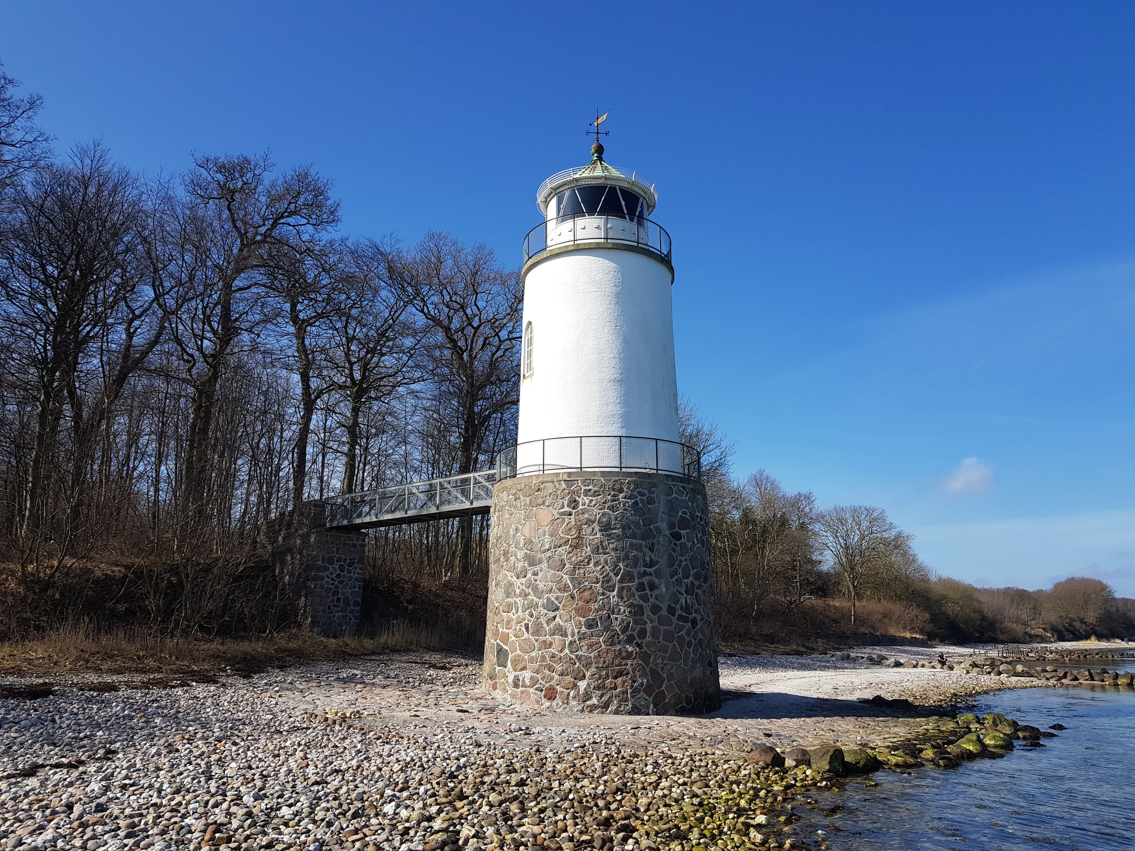
Taksensand Lighthouse
Guderup, Denmark
Taksensand Fyr (auch Taxensand Fyr) ist ein Leuchtturm, der von der dänischen Seefahrtsbehörde Farvandsvæsenet betrieben wird und sich auf der Ostseite der Insel Als in der heutigen Region Syddanmark befindet.
- Category
- Photo Spots
- Location
- Guderup, Denmark
- Coordinates
- 55.00660, 9.96454
- How to get there
- Google MapsApple MapsOpenStreetMap
- Wikidata
- Q16324663
What is Taksensand Lighthouse?
Taksensand Lighthouse is a Photo Spots place on VeroMaps. Other places close by: Klokkestenen, Gammel Pøl Lighthouse, Skjoldnaes Lighthouse, Sønderborg Castle.
Where is Taksensand Lighthouse?
Taksensand Lighthouse is in Guderup, Denmark. Coordinates: 55.00660, 9.96454.
How do I get to Taksensand Lighthouse?
Taksensand Lighthouse is at Guderup, Denmark (55.00660, 9.96454). Enter these coordinates in Google Maps, Apple Maps or OpenStreetMap for walking, cycling or driving directions.