Urbex & Abandoned
Szombierki Coal Mine
Bytom, Poland
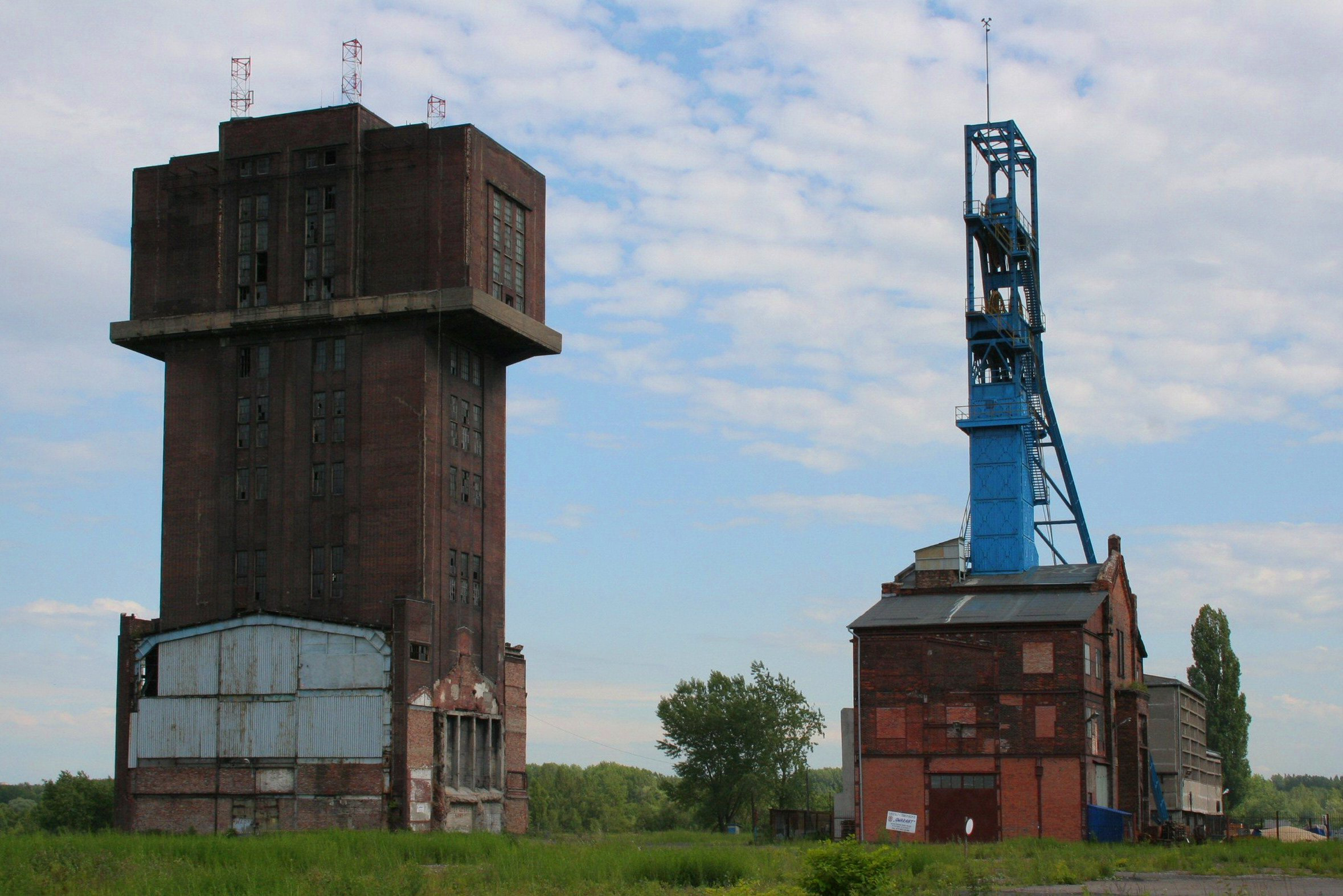
Szombierki Coal Mine is a former coal mine in Szombierki, Bytom, Poland. It was created in 1870 from several smaller coal fields. From mid-1990s it began to be closed down. In 2004 its winding tower "Krystyna" (formerly Kaiser Wilhelm) was added to the Polish register of monuments. During a 2009 vote the tower was voted as one of the "Seven Architectural Wonders of the Silesian Voivodeship."
- Category
- Urbex & Abandoned
- Location
- Bytom, Poland
- Coordinates
- 50.33850, 18.91150
- How to get there
- Google MapsApple MapsOpenStreetMap
- Wikidata
- Q11743406
What is Szombierki Coal Mine?
Szombierki Coal Mine is a Urbex & Abandoned place on VeroMaps. Other places close by: Schloss Schomberg, Rozbark coal mine, Bytom Castle, Centrum coal mine.
Where is Szombierki Coal Mine?
Szombierki Coal Mine is in Bytom, Poland. Coordinates: 50.33850, 18.91150.
How do I get to Szombierki Coal Mine?
Szombierki Coal Mine is at Bytom, Poland (50.33850, 18.91150). Enter these coordinates in Google Maps, Apple Maps or OpenStreetMap for walking, cycling or driving directions.