Urbex & Abandoned
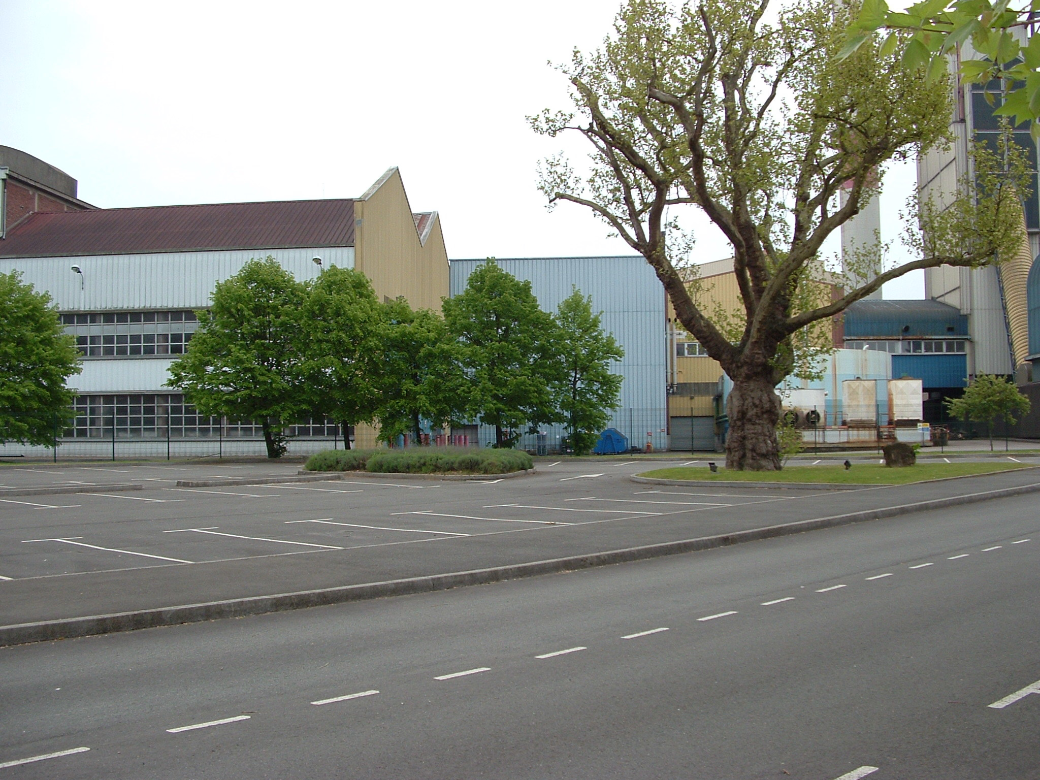
Sucrerie d'Étrépagny
Étrépagny, France
La sucrerie d'Étrépagny est une usine sucrière située à Étrépagny dans le département de l'Eure, dans le Vexin Normand en 1863, dont Charpillon traite en citant sur un même plan économique en 1868 les sucreries de Fontenay, des Andelys et de La Rivière-Thibouville.
- Category
- Urbex & Abandoned
- Location
- Étrépagny, France
- Coordinates
- 49.30000, 1.61670
- How to get there
- Google MapsApple MapsOpenStreetMap
- Wikidata
- Q3502847
What is Sucrerie d'Étrépagny?
Sucrerie d'Étrépagny is a Urbex & Abandoned place on VeroMaps. Other places close by: Château de Boury, Château de Gisors, Châteauneuf-sur-Epte, Château de Fleury-la-Forêt.
Where is Sucrerie d'Étrépagny?
Sucrerie d'Étrépagny is in Étrépagny, France. Coordinates: 49.30000, 1.61670.
How do I get to Sucrerie d'Étrépagny?
Sucrerie d'Étrépagny is at Étrépagny, France (49.30000, 1.61670). Enter these coordinates in Google Maps, Apple Maps or OpenStreetMap for walking, cycling or driving directions.