Forgotten History
Styrum
Mülheim an der Ruhr, Germany
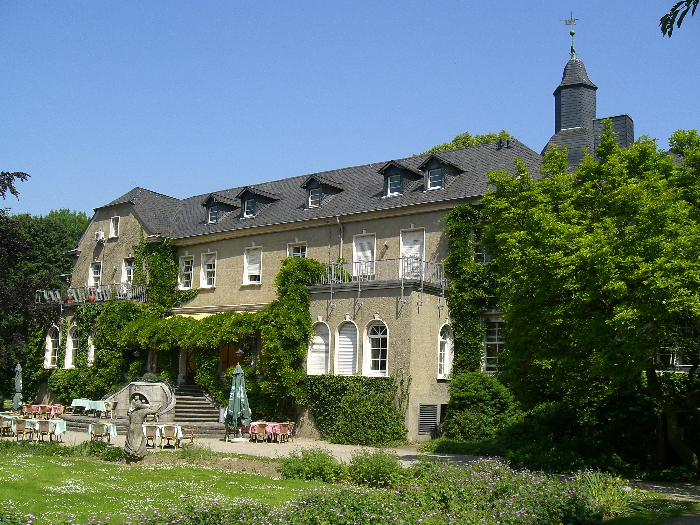
Styrum was an immediate lordship in the Holy Roman Empire, located in Mülheim an der Ruhr, North Rhine-Westphalia, Germany. It held no seat in the Diet and was circumvened by the Lordship of Broich. The exact date of construction of its castle is unknown. Styrum was already prosperous in Frankish times before Charlemagne (late 8th century).
- Category
- Forgotten History
- Location
- Mülheim an der Ruhr, Germany
- Coordinates
- 51.44361, 6.85528
- How to get there
- Google MapsApple MapsOpenStreetMap
- Wikidata
- Q315145
What is Styrum?
Styrum is a Forgotten History place on VeroMaps. Other places close by: Aquarius-Wassermuseum, Museum zur Vorgeschichte des Films, Schloss Broich, Alte Malzfabrik.
Where is Styrum?
Styrum is in Mülheim an der Ruhr, Germany. Coordinates: 51.44361, 6.85528.
How do I get to Styrum?
Styrum is at Mülheim an der Ruhr, Germany (51.44361, 6.85528). Enter these coordinates in Google Maps, Apple Maps or OpenStreetMap for walking, cycling or driving directions.