Photo corners
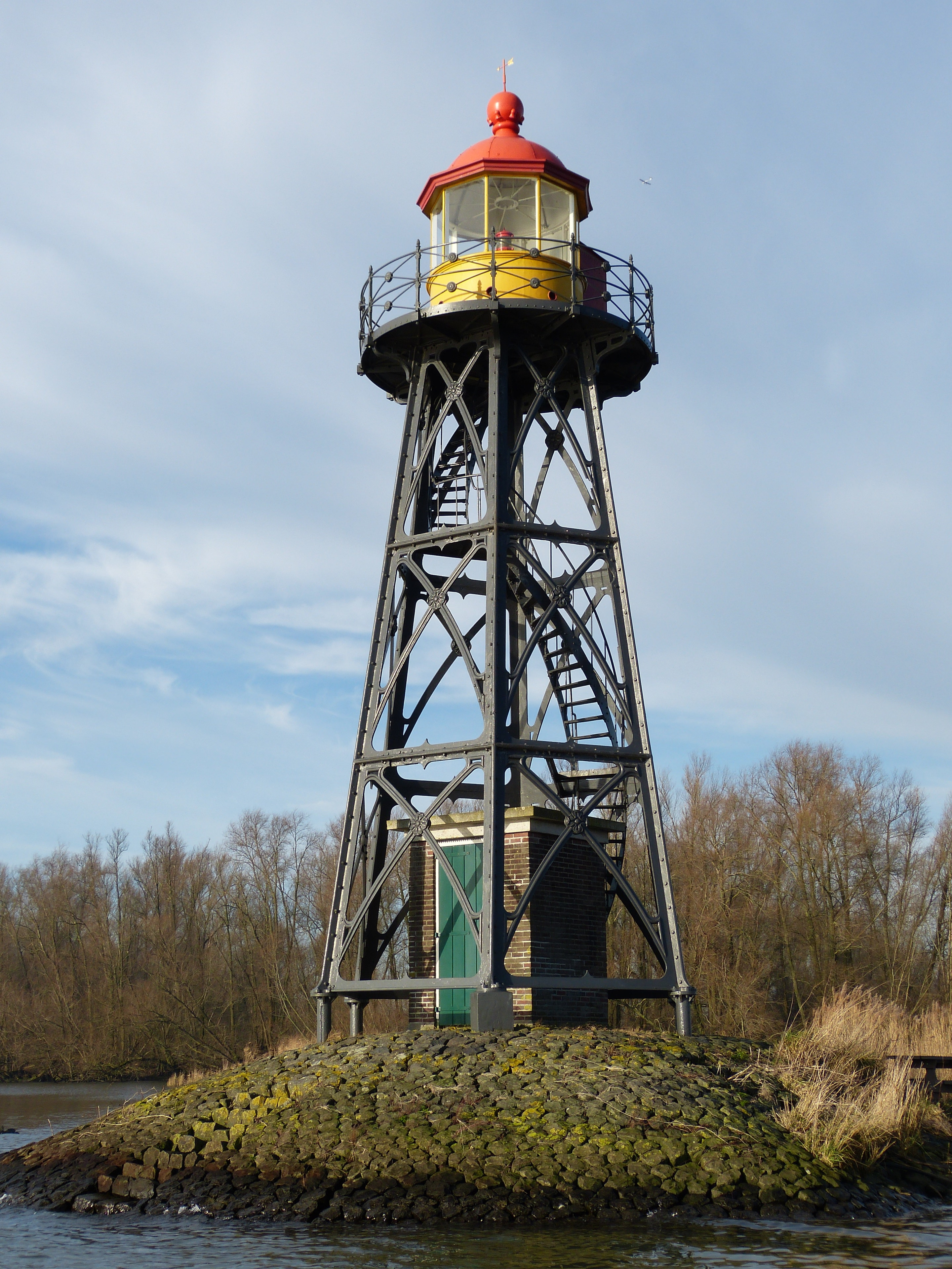
Strijensas Lichtopstand
Buitendijk, Netherlands
De vuurtoren van Strijensas is een lichtopstand aan het Hollandsch Diep, bij het dorpje Strijensas, in de Nederlandse gemeente Hoeksche Waard. Het torentje is ontworpen door Adrianus Cornelis van Loo en in 1883 gebouwd door de firma Penn & Bauduin uit Dordrecht.
- Category
- Photo Spots
- Location
- Buitendijk, Netherlands
- Coordinates
- 51.71207, 4.58773
- How to get there
- Google MapsApple MapsOpenStreetMap
- Wikidata
- Q17598817
What is Strijensas Lichtopstand?
Strijensas Lichtopstand is a Photo Spots place on VeroMaps. Other places close by: Nederlands Hervormde Kerk, Moerdijk, watertoren Strijen, Moerdijk bridges, Johannes de Doperkerk, Klundert.
Where is Strijensas Lichtopstand?
Strijensas Lichtopstand is in Buitendijk, Netherlands. Coordinates: 51.71207, 4.58773.
How do I get to Strijensas Lichtopstand?
Strijensas Lichtopstand is at Buitendijk, Netherlands (51.71207, 4.58773). Enter these coordinates in Google Maps, Apple Maps or OpenStreetMap for walking, cycling or driving directions.