Urbex & Abandoned
Stollburg
Oberschwarzach, Germany
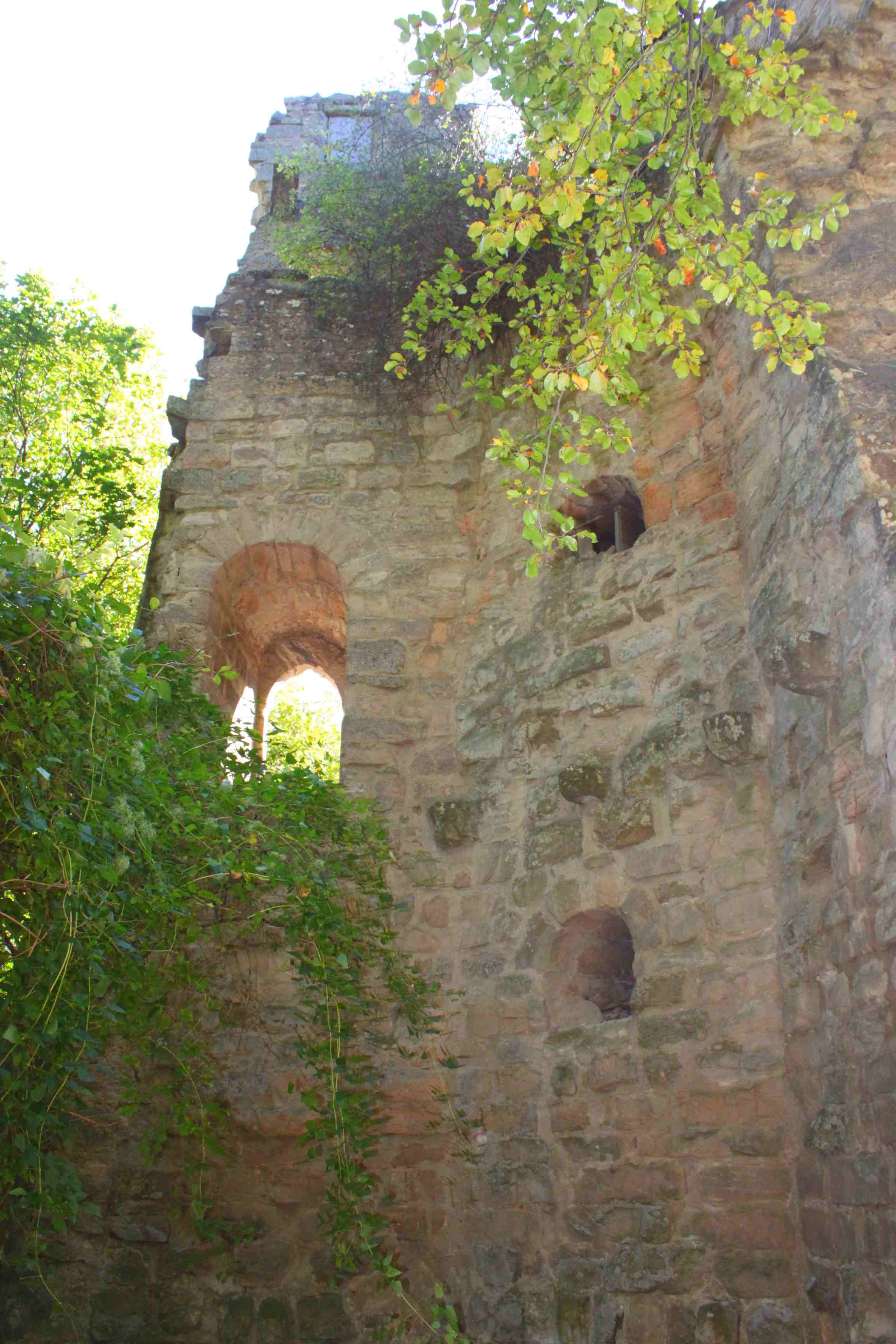
Die Burgruine Stollburg ist die Ruine einer Höhenburg bei 442,9 Meter auf dem 476 Meter hohen Stollberg, Frankens höchster Weinlage, auf der Gemarkung Handthal, Ortsteil des Marktes Oberschwarzach im unterfränkischen Landkreis Schweinfurt in Bayern.
- Category
- Urbex & Abandoned
- Location
- Oberschwarzach, Germany
- Coordinates
- 49.87520, 10.42850
- How to get there
- Google MapsApple MapsOpenStreetMap
- Wikidata
- Q1015536
What is Stollburg?
Stollburg is a Urbex & Abandoned place on VeroMaps. Other places close by: Wallfahrtskirche St. Maria Helferin der Christen, Burgruine Zabelstein, Chapel (Stadelschwarzach), Kaisereiche.
Where is Stollburg?
Stollburg is in Oberschwarzach, Germany. Coordinates: 49.87520, 10.42850.
How do I get to Stollburg?
Stollburg is at Oberschwarzach, Germany (49.87520, 10.42850). Enter these coordinates in Google Maps, Apple Maps or OpenStreetMap for walking, cycling or driving directions.