Forgotten History
Stirling Castle
Stirling, United Kingdom
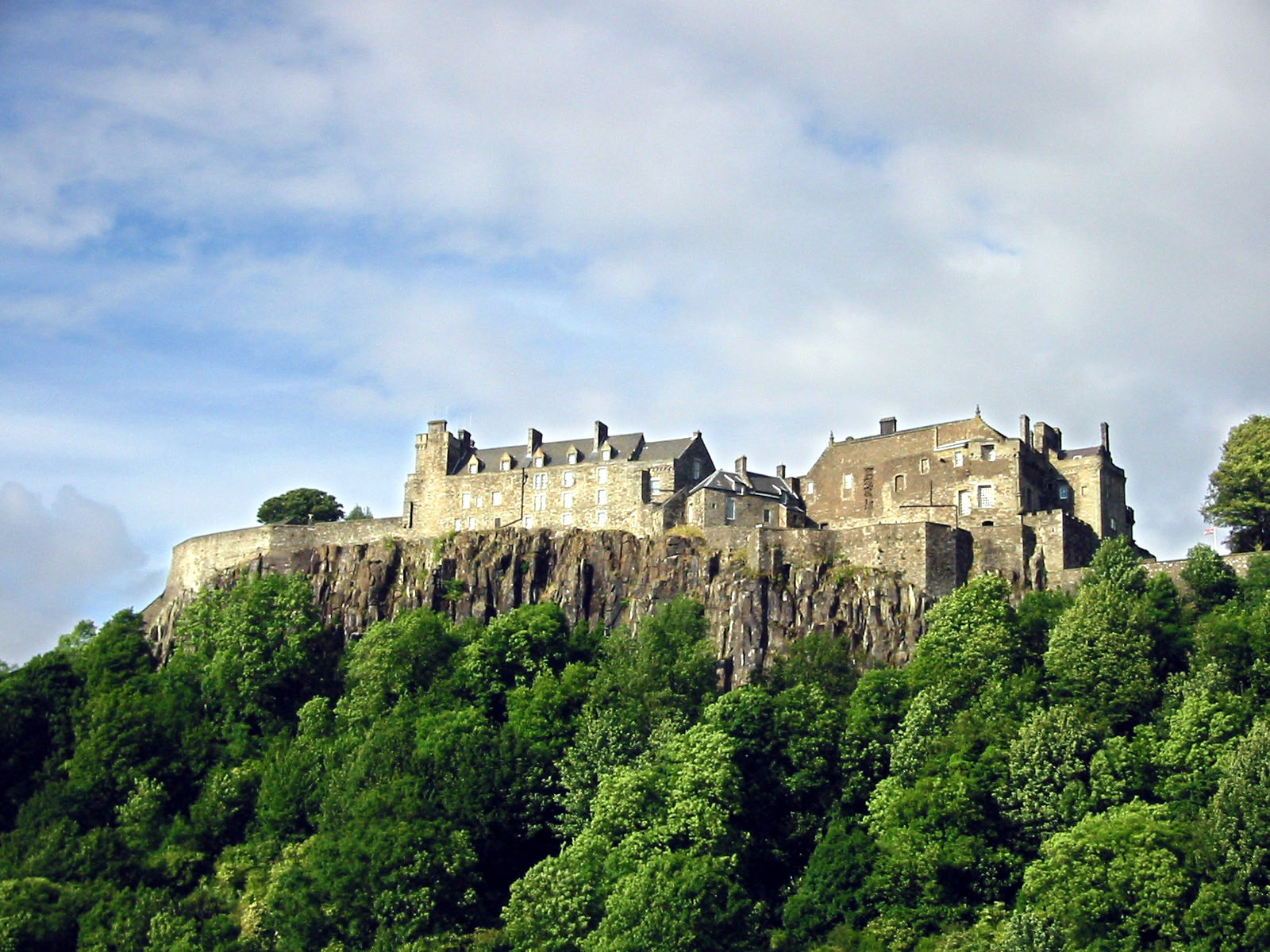
Stirling Castle (Scottish Gaelic: Caisteal Shruighlea), located in Stirling, is one of the largest and most historically and architecturally important castles in Scotland. The castle sits atop an intrusive crag, which forms part of the Stirling Sill geological formation. It is surrounded on three sides by steep cliffs, giving it a strong defensive position. Its strategic location, guarding what was, until the 1890s, the farthest downstream crossing of the River Forth, has made it an important fortification in the region from the earliest times. Most of the principal buildings of the castle date from the fifteenth and sixteenth centuries. A few structures remain from the fourteenth century, while the outer defences fronting the town date from the early eighteenth century. Before the union with England, Stirling Castle was also one of the most used of the many Scottish royal residences, very much a palace as well as a fortress. Several Scottish Kings and Queens have been crowned at Stirling, including Mary, Queen of Scots, in 1542, and others were born or died there. There have been at least eight sieges of Stirling Castle, including several during the Wars of Scottish Independence, with the last being in 1746, when Bonnie Prince Charlie unsuccessfully tried to take the castle. Stirling Castle is a scheduled monument, and is now a tourist attraction managed by Historic Environment Scotland.
- Category
- Forgotten History
- Location
- Stirling, United Kingdom
- Coordinates
- 56.12389, -3.94778
- How to get there
- Google MapsApple MapsOpenStreetMap
- Wikidata
- Q756268
What is Stirling Castle?
Stirling Castle is a Forgotten History place on VeroMaps. Other places close by: High School, Academy Road, Stirling, Statue of Henry Campbell-Bannerman, The Gothenburg, Broomhall Castle.
Where is Stirling Castle?
Stirling Castle is in Stirling, United Kingdom. Coordinates: 56.12389, -3.94778.
How do I get to Stirling Castle?
Stirling Castle is at Stirling, United Kingdom (56.12389, -3.94778). Enter these coordinates in Google Maps, Apple Maps or OpenStreetMap for walking, cycling or driving directions.