Photo corners
Stenshuvud National Park
Simrishamn Municipality, Sweden
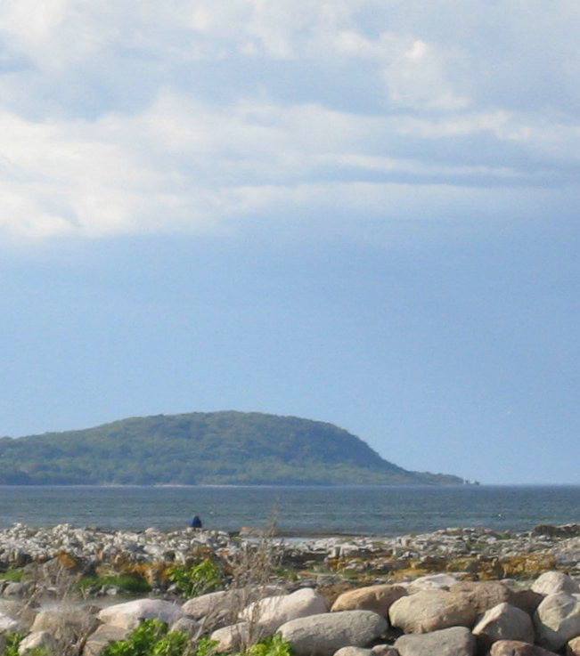
Stenshuvud is a hill in the southeastern corner of Sweden, in the province of Scania, close to Kivik in Simrishamn Municipality. Since 1986, it is one of the National parks of Sweden. The park covers an area of about 3. 9 km2 (1. 5 mi2). The hill is 97 m (318 ft) high and faces the Baltic Sea.
- Category
- Photo Spots
- Location
- Simrishamn Municipality, Sweden
- Coordinates
- 55.65784, 14.26992
- How to get there
- Google MapsApple MapsOpenStreetMap
- Wikidata
- Q1566469
What is Stenshuvud National Park?
Stenshuvud National Park is a Photo Spots place on VeroMaps. Other places close by: Stenshuvud lighthouse, The King's Grave, Gyllebo, Haväng dolmen.
Where is Stenshuvud National Park?
Stenshuvud National Park is in Simrishamn Municipality, Sweden. Coordinates: 55.65784, 14.26992.
How do I get to Stenshuvud National Park?
Stenshuvud National Park is at Simrishamn Municipality, Sweden (55.65784, 14.26992). Enter these coordinates in Google Maps, Apple Maps or OpenStreetMap for walking, cycling or driving directions.