Urbex & Abandoned
Stanwick Camp
Forcett, United Kingdom
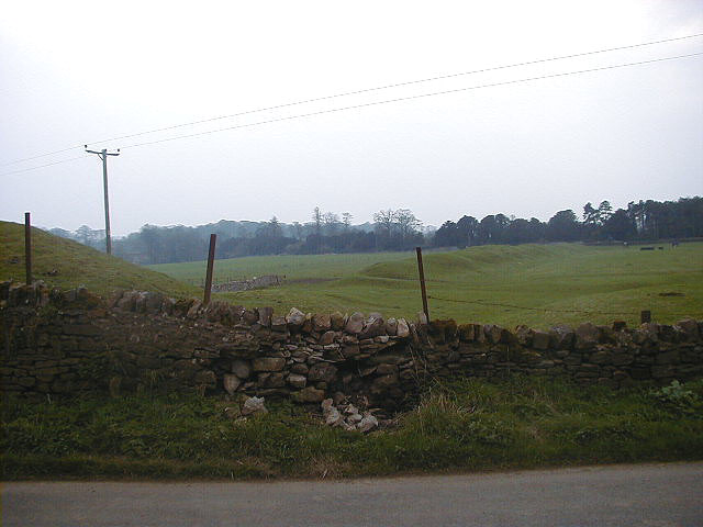
The Stanwick Iron Age Fortifications (also known as 'Stanwick Camp'), a huge Iron Age hill fort, sometimes but not always considered an oppidum, comprising over 9 kilometres (5. 6 mi) of ditches and ramparts enclosing approximately 300 hectares (740 acres) of land, are situated in Richmondshire, North Yorkshire, England.
- Category
- Urbex & Abandoned
- Location
- Forcett, United Kingdom
- Coordinates
- 54.50416, -1.71832
- How to get there
- Google MapsApple MapsOpenStreetMap
- Wikidata
- Q15242545
What is Stanwick Camp?
Stanwick Camp is a Urbex & Abandoned place on VeroMaps. Other places close by: Raby Hunt Inn, Aske Hall, Milbank Arms, St. Martin's Priory, Richmond.
Where is Stanwick Camp?
Stanwick Camp is in Forcett, United Kingdom. Coordinates: 54.50416, -1.71832.
How do I get to Stanwick Camp?
Stanwick Camp is at Forcett, United Kingdom (54.50416, -1.71832). Enter these coordinates in Google Maps, Apple Maps or OpenStreetMap for walking, cycling or driving directions.