Urbex & Abandoned
Staatsmijn Emma
Brunssum, Netherlands
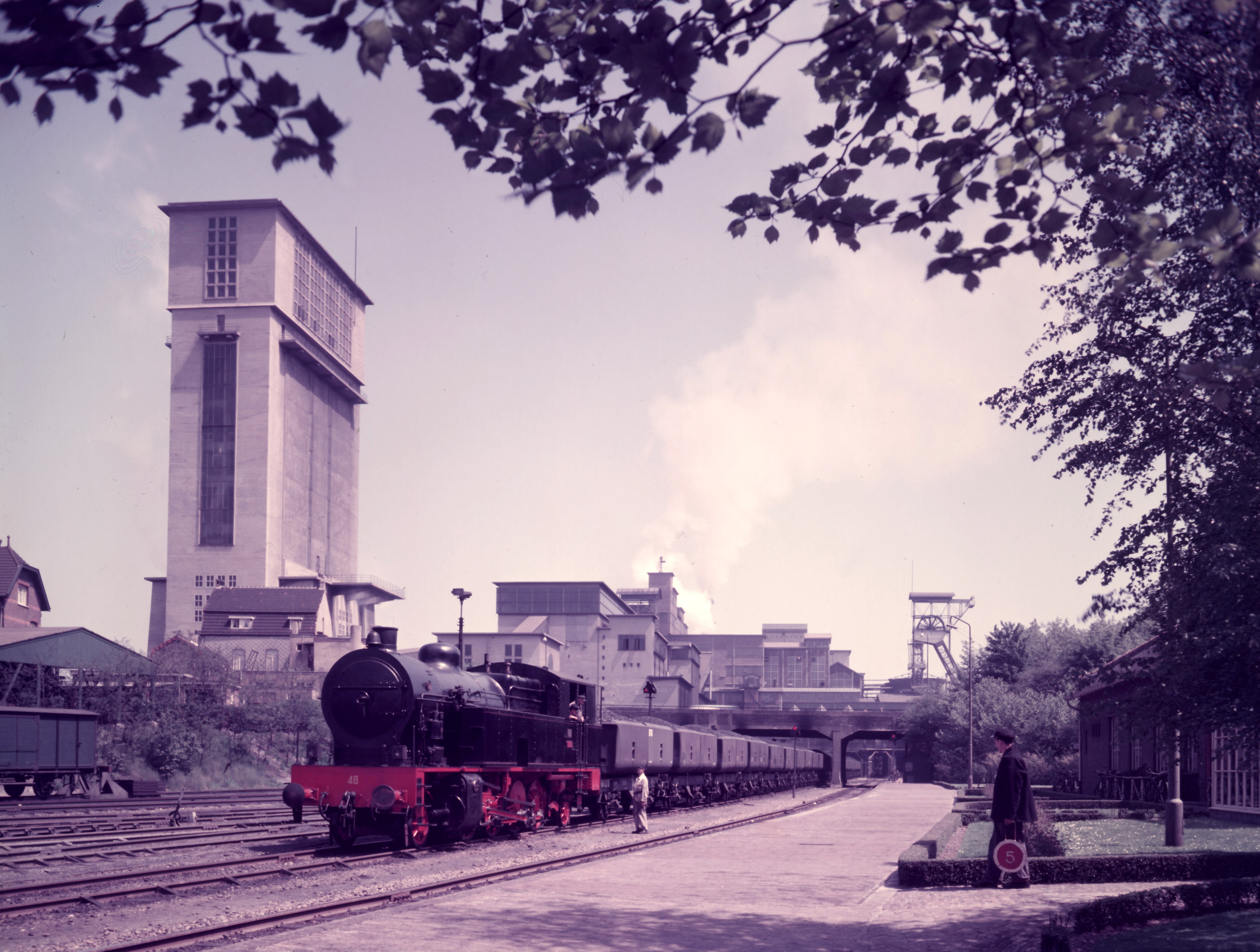
The Dutch State Mine (DSM) Emma, in Dutch Staatsmijn Emma, was a coal mine located in Treebeek, Heerlen (now part of Brunssum) run by the Dutch state through its company DSM. The mine was in operation from 1911 until 1973. It was the second-largest mine in the Netherlands, but it had the highest production of all Dutch mines at 109 megatonnes (120,000,000 short tons). Its deepest shaft III was 980 metres (3,220 ft) deep. After the 1963 merger with the DSM Hendrik the deepest shaft was 1,058 metres (3,471 ft) deep.
- Category
- Urbex & Abandoned
- Location
- Brunssum, Netherlands
- Coordinates
- 50.92917, 5.94417
- How to get there
- Google MapsApple MapsOpenStreetMap
- Wikidata
- Q2691305
What is Staatsmijn Emma?
Staatsmijn Emma is a Urbex & Abandoned place on VeroMaps. Other places close by: Oranje Nassau III, Rooms-Katholieke Kerk, Amstenrade, Christus Koningkerk, watertower Heerlen Vrieheide.
Where is Staatsmijn Emma?
Staatsmijn Emma is in Brunssum, Netherlands. Coordinates: 50.92917, 5.94417.
How do I get to Staatsmijn Emma?
Staatsmijn Emma is at Brunssum, Netherlands (50.92917, 5.94417). Enter these coordinates in Google Maps, Apple Maps or OpenStreetMap for walking, cycling or driving directions.