Urbex & Abandoned
Sonnenwirbelhäuser
Jáchymov, Czech Republic
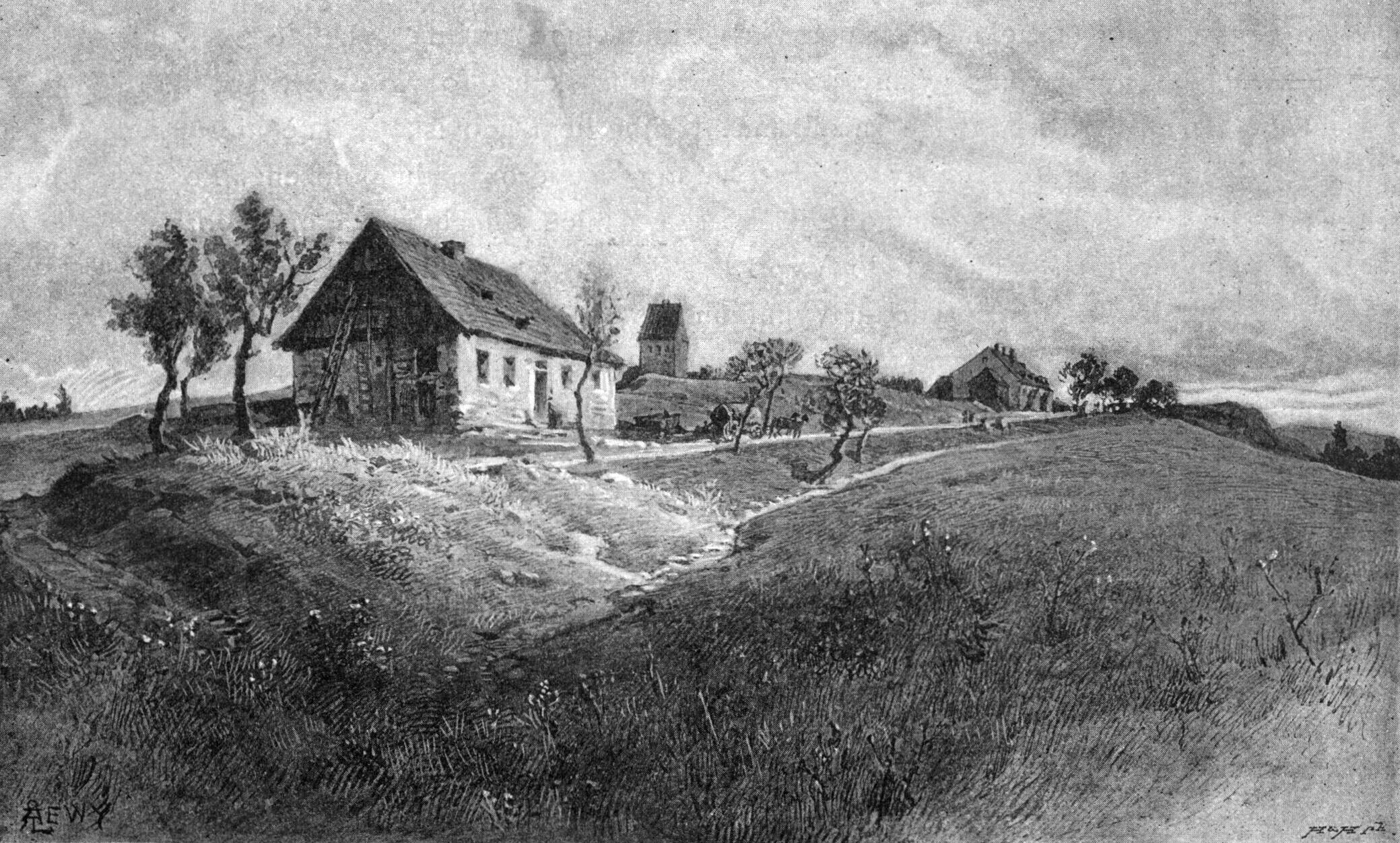
Die Sonnenwirbelhäuser waren eine Siedlung auf dem nordwestlichen Ausläufer des Klínovec (deutsch Keilberg, früher: Sonnenwirbel), unmittelbar an der Straße von Gottesgab nach Kupferberg. Mit einer Höhenlage von etwa 1150 m n.m. waren sie die höchstgelegene Ansiedlung im Erzgebirge.
- Category
- Urbex & Abandoned
- Location
- Jáchymov, Czech Republic
- Coordinates
- 50.40265, 12.94600
- How to get there
- Google MapsApple MapsOpenStreetMap
- Wikidata
- Q18413100
What is Sonnenwirbelhäuser?
Sonnenwirbelhäuser is a Urbex & Abandoned place on VeroMaps. Other places close by: Důl Bratrství, Svornost mine, Freudenstein, Lime kiln in Loučná pod Klínovcem.
Where is Sonnenwirbelhäuser?
Sonnenwirbelhäuser is in Jáchymov, Czech Republic. Coordinates: 50.40265, 12.94600.
How do I get to Sonnenwirbelhäuser?
Sonnenwirbelhäuser is at Jáchymov, Czech Republic (50.40265, 12.94600). Enter these coordinates in Google Maps, Apple Maps or OpenStreetMap for walking, cycling or driving directions.