Urbex & Abandoned
Skinnand
Navenby, United Kingdom
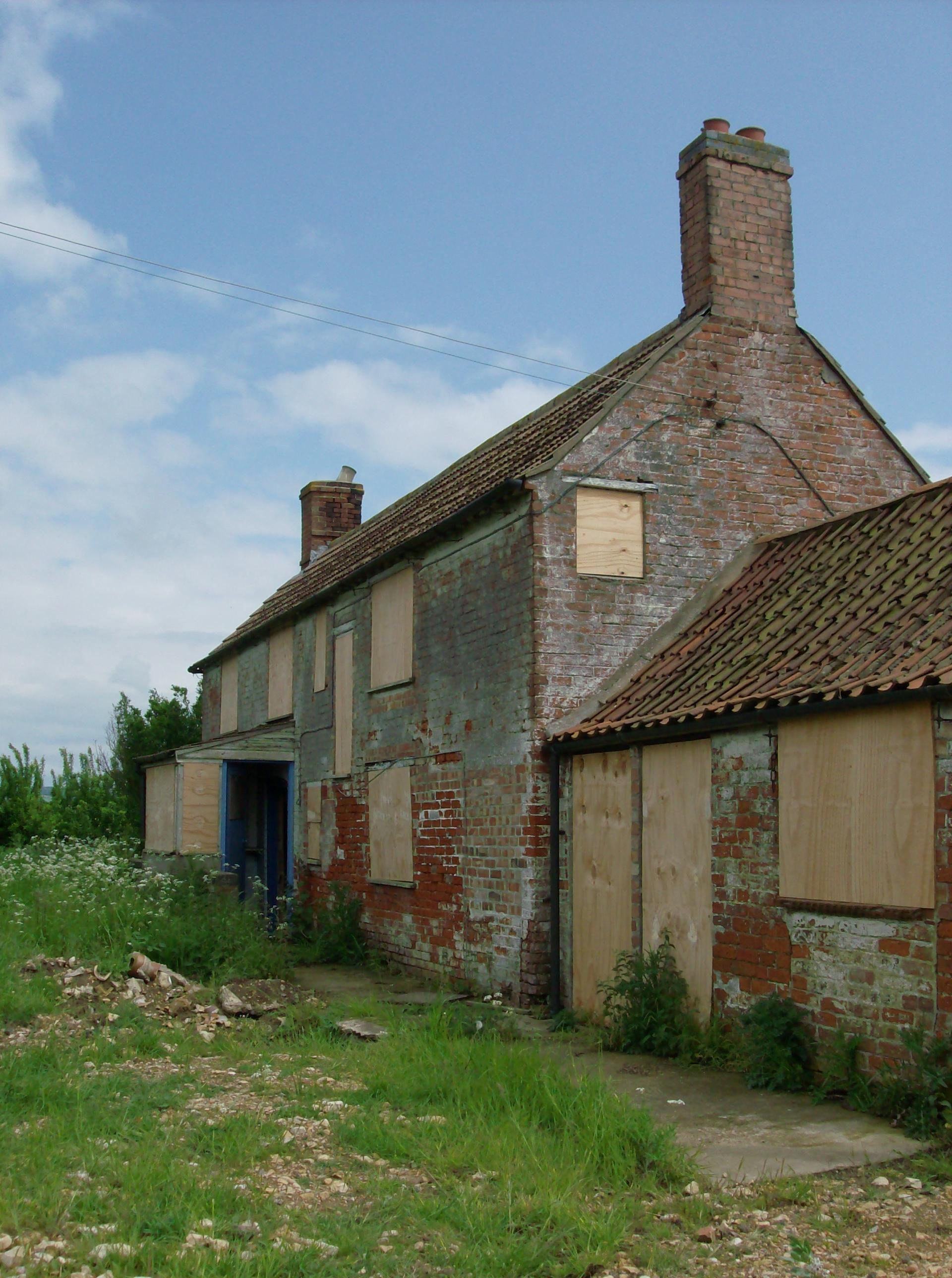
Skinnand is a deserted medieval village in the civil parish of Navenby, in the North Kesteven district, in the county of Lincolnshire, England. It was a small farming community situated 9 miles (14 km) south of Lincoln and 11.5 miles (19 km) northwest of Sleaford, composed of a church and several houses. During the English Civil War of 1642-1646 the church fell into ruins. Today only fields and one deserted farmhouse remain.
- Category
- Urbex & Abandoned
- Location
- Navenby, United Kingdom
- Coordinates
- 53.10700, -0.59700
- How to get there
- Google MapsApple MapsOpenStreetMap
- Wikidata
- Q7535478
What is Skinnand?
Skinnand is a Urbex & Abandoned place on VeroMaps. Other places close by: Lincoln Drill Hall, Lincoln Castle, Newark Castle, Belton House.
Where is Skinnand?
Skinnand is in Navenby, United Kingdom. Coordinates: 53.10700, -0.59700.
How do I get to Skinnand?
Skinnand is at Navenby, United Kingdom (53.10700, -0.59700). Enter these coordinates in Google Maps, Apple Maps or OpenStreetMap for walking, cycling or driving directions.