Restaurants
Six Mile Creek Stage Station Historic District
New York, United States
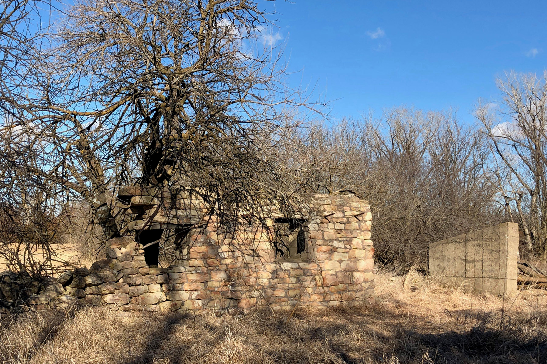
Six Mile Creek Stage Station Historic District is the site of a stagecoach station and ranch on the Santa Fe Trail in western Morris County, Kansas. The site is located near the trail's crossing of Six Mile Creek, which was named for its location 6 miles (9.7 km) west of Diamond Spring. After the stagecoach station at Diamond Spring was destroyed, a new station was built at Six Mile Creek in 1863. The station lasted until later in the 1860s, when new railroad construction made the stage line obsolete. Charley Owens began a ranch at the site in 1866, and while his ranch only lasted two years, the site was sporadically used for ranching and farming into the twentieth century. In addition to the ruined stage station, the site includes the remnants of a barn, blacksmith shop, corral, and well, along with several ruts from the trail. The site was added to the National Register of Historic Places on May 11, 1995.
- Category
- Restaurants
- Location
- New York, United States
- Coordinates
- 38.60556, -96.85444
- How to get there
- Google MapsApple MapsOpenStreetMap
- Wikidata
- Q112136482
What is Six Mile Creek Stage Station Historic District?
Six Mile Creek Stage Station Historic District is a Restaurants place on VeroMaps. Other places close by: Anderson Hall, Kansas Underground Salt Museum, Lane University, Bailey Hall.
Where is Six Mile Creek Stage Station Historic District?
Six Mile Creek Stage Station Historic District is in New York, United States. Coordinates: 38.60556, -96.85444.
How do I get to Six Mile Creek Stage Station Historic District?
Six Mile Creek Stage Station Historic District is at New York, United States (38.60556, -96.85444). Enter these coordinates in Google Maps, Apple Maps or OpenStreetMap for walking, cycling or driving directions.