Restaurants
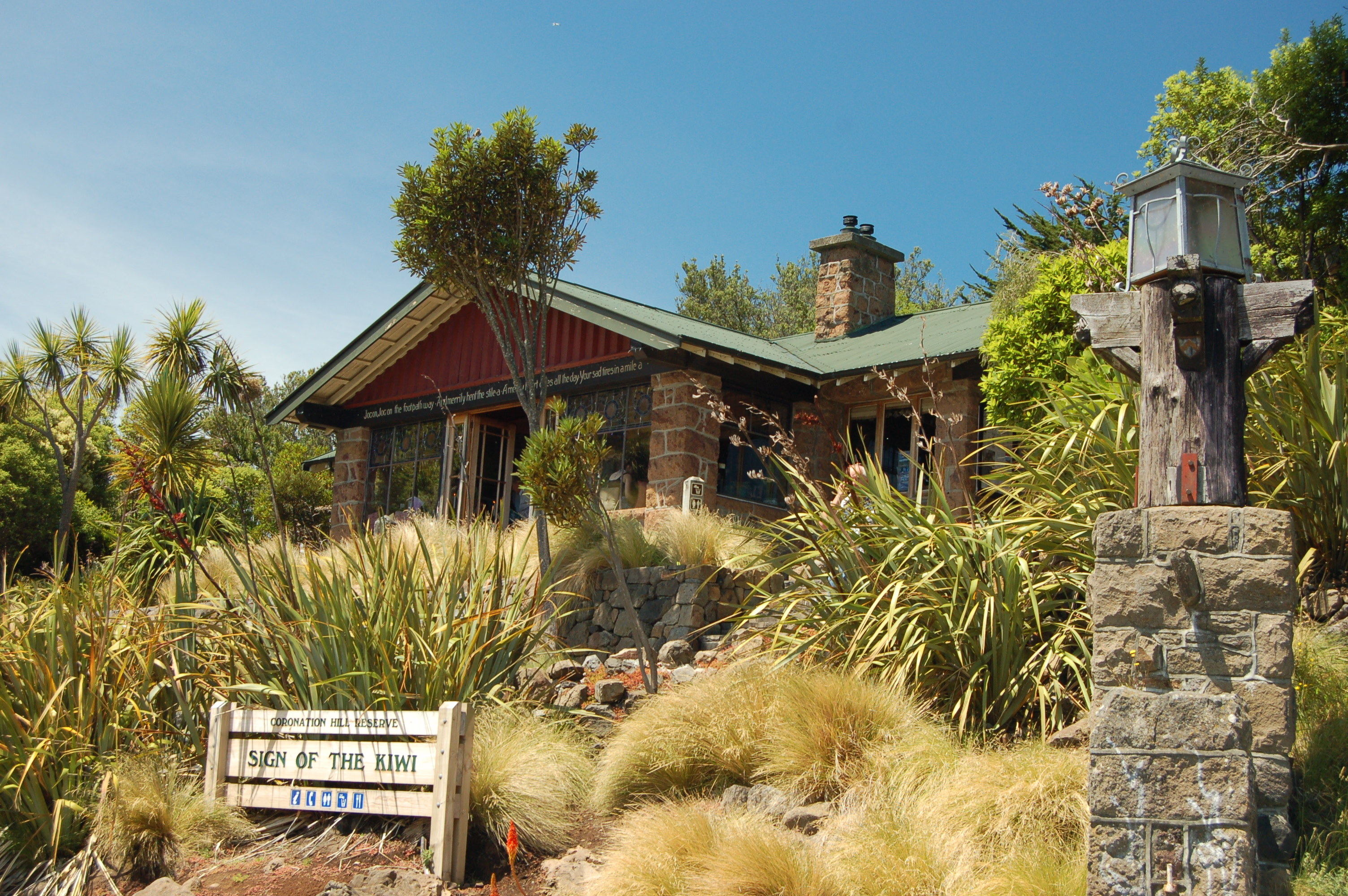
Sign of the Kiwi
Sydney, Australia
The Sign of the Kiwi, originally called Toll House, is a small café and shop at Dyers Pass on the road between Christchurch and Governors Bay. It was built in 1916–17 by Harry Ell as a staging post and opened as a tearoom and rest house. It has a Category I heritage classification by Heritage New Zealand and is a popular destination for tourists and locals alike. The building was closed some time after the 22 February 2011 Christchurch earthquake and did not open again until 23 January 2017, six years later. Although located within the burned area, the building was not damaged by the 2017 Port Hills fires a month later.
- Category
- Restaurants
- Location
- Sydney, Australia
- Coordinates
- -43.60640, 172.64500
- How to get there
- Google MapsApple MapsOpenStreetMap
- Wikidata
- Q7512579
What is Sign of the Kiwi?
Sign of the Kiwi is a Restaurants place on VeroMaps. Other places close by: C1 Espresso, Warner's Hotel.
Where is Sign of the Kiwi?
Sign of the Kiwi is in Sydney, Australia. Coordinates: -43.60640, 172.64500.
How do I get to Sign of the Kiwi?
Sign of the Kiwi is at Sydney, Australia (-43.60640, 172.64500). Enter these coordinates in Google Maps, Apple Maps or OpenStreetMap for walking, cycling or driving directions.