Photo corners
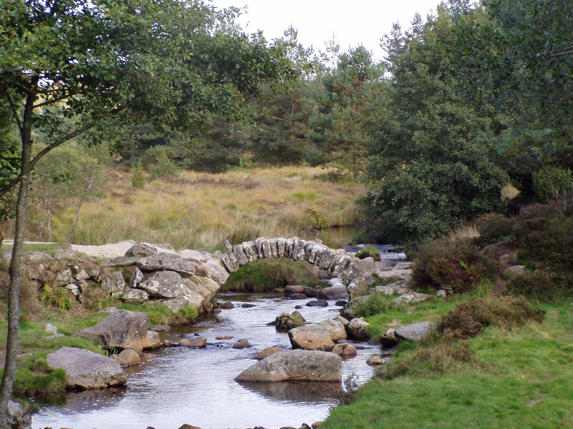
Senoueix Bridge
Peux-Loube, France
The Senoueix bridge is a small arch of stones, which are the remains of a bridge. It is also sometimes known under the name: "the Roman bridge", but its Roman origin is doubtful. It was probably built in the 17th century. A bridge might have been built during the Roman era but the bridge that can be seen now is much more recent. The bridge is located on the Gentioux-Pigerolles communal territory, five kilometers north, on the road to Saint-Marc-à-Loubaud. The bridge crosses the Taurion river. It belongs to the "Plateau de Millevaches" region, in the south of Creuse.
- Category
- Photo Spots
- Location
- Peux-Loube, France
- Coordinates
- 45.81757, 1.99653
- How to get there
- Google MapsApple MapsOpenStreetMap
- Wikidata
- Q3397157
What is Senoueix Bridge?
Senoueix Bridge is a Photo Spots place on VeroMaps. Other places close by: Pierre Fitte, Arboretum du Puy Chabrol, Parc Arboretum de Saint-Setiers, pierre de la Fade.
Where is Senoueix Bridge?
Senoueix Bridge is in Peux-Loube, France. Coordinates: 45.81757, 1.99653.
How do I get to Senoueix Bridge?
Senoueix Bridge is at Peux-Loube, France (45.81757, 1.99653). Enter these coordinates in Google Maps, Apple Maps or OpenStreetMap for walking, cycling or driving directions.