Photo corners
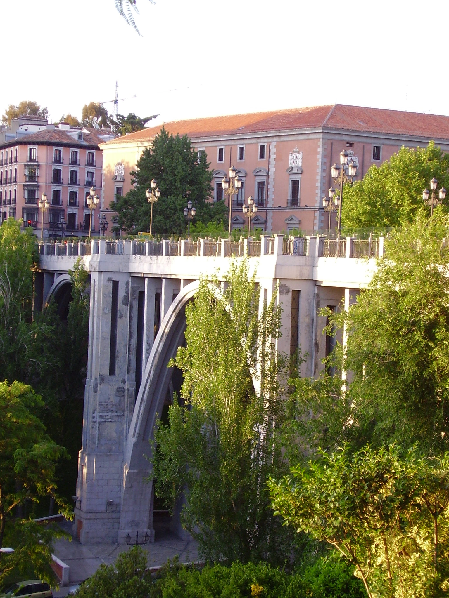
Segovia Viaduct
Madrid, Spain
The Segovia Viaduct is a viaduct in the La Latina neighborhood in Madrid, Spain. Throughout the centuries the area has been a major crossroad. The bridge's main function has been to facilitate access between the town and the Royal Palace of Madrid. A later version was built in 1934 to replace the previous iron one erected in 1874. The present one is the result of many restorations in order for its structure to accommodate the growing traffic demand. It spans Segovia Street, 25 meters below, from which it takes its name, although it is popularly known as "El Viaducto". Throughout its history, it had been a common site for suicide in Madrid until 1998.
- Category
- Photo Spots
- Location
- Madrid, Spain
- Coordinates
- 40.41383, -3.71364
- How to get there
- Google MapsApple MapsOpenStreetMap
- Wikidata
- Q6160850
What is Segovia Viaduct?
Segovia Viaduct is a Photo Spots place on VeroMaps. Other places close by: John Paul II, Casa Lucio, Monumento al capitán Melgar, Café de Oriente.
Where is Segovia Viaduct?
Segovia Viaduct is in Madrid, Spain. Coordinates: 40.41383, -3.71364.
How do I get to Segovia Viaduct?
Segovia Viaduct is at Madrid, Spain (40.41383, -3.71364). Enter these coordinates in Google Maps, Apple Maps or OpenStreetMap for walking, cycling or driving directions.