Urbex & Abandoned
Schmölwall
Sønderborg Municipality, Denmark
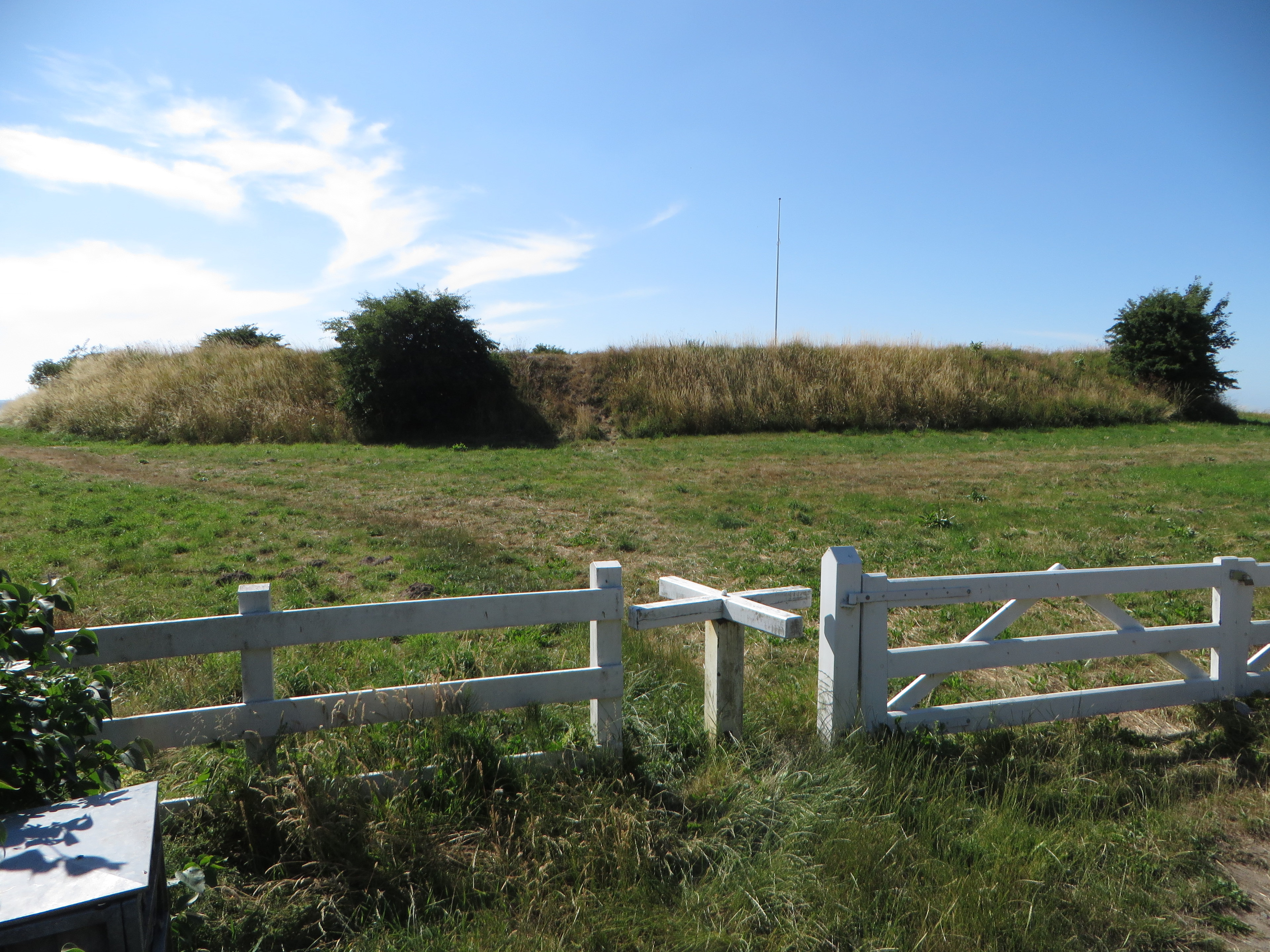
Der Schmölwall (dänisch: Smøl Vold auch Smølvold) ist eine abgegangene Wallburg bei der nordschleswigschen Siedlung Smøl am Rande des Ortes Broager auf der Nordseite der Flensburger Förde in Dänemark.
- Category
- Urbex & Abandoned
- Location
- Sønderborg Municipality, Denmark
- Coordinates
- 54.89806, 9.67236
- How to get there
- Google MapsApple MapsOpenStreetMap
- Wikidata
- Q29639200
What is Schmölwall?
Schmölwall is a Urbex & Abandoned place on VeroMaps. Other places close by: Lågemade Lighthouse, Dybbøl skanser, Sønderborg Castle, Leuchtturm Schausende.
Where is Schmölwall?
Schmölwall is in Sønderborg Municipality, Denmark. Coordinates: 54.89806, 9.67236.
How do I get to Schmölwall?
Schmölwall is at Sønderborg Municipality, Denmark (54.89806, 9.67236). Enter these coordinates in Google Maps, Apple Maps or OpenStreetMap for walking, cycling or driving directions.