Forgotten History
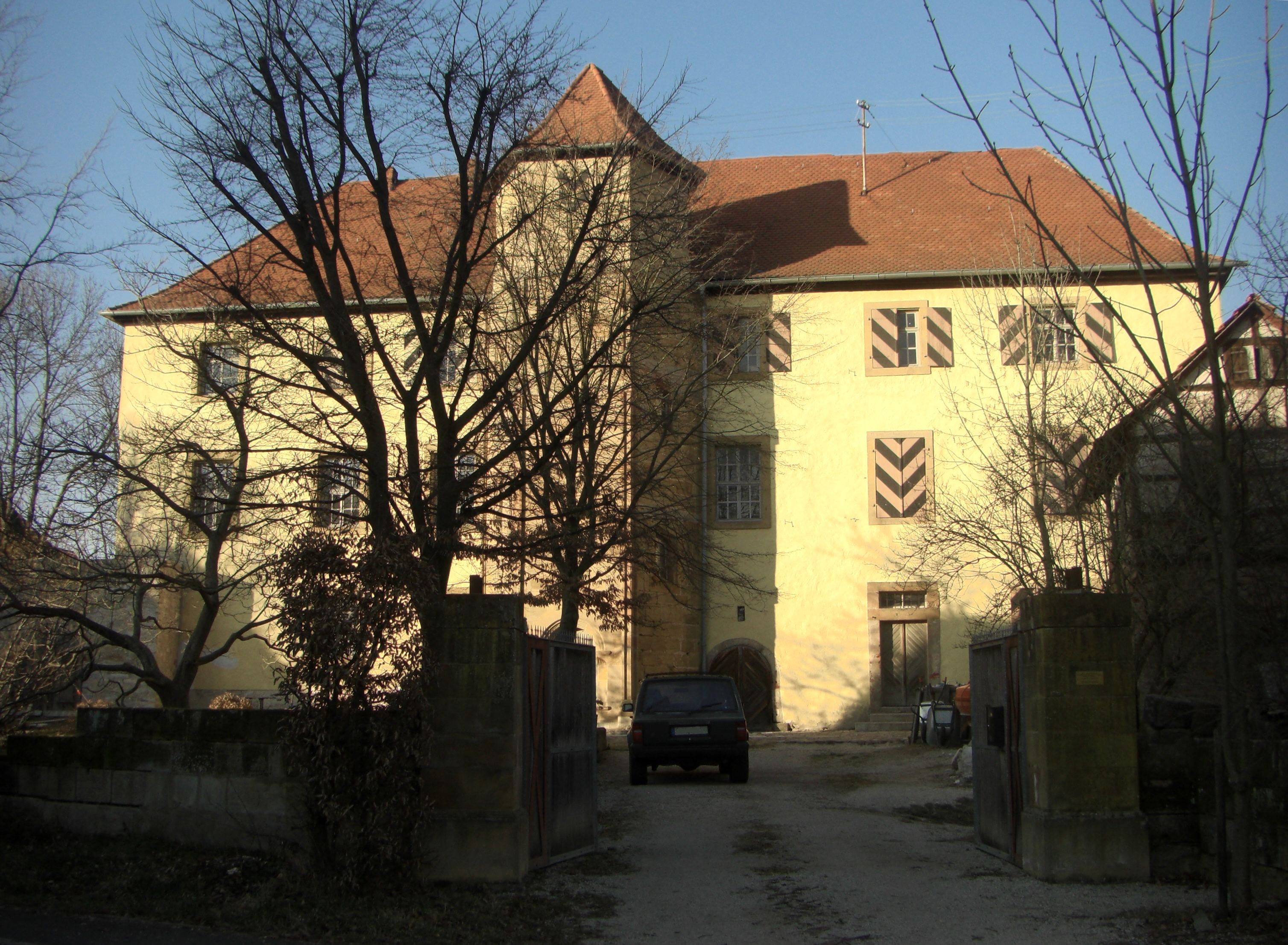
Schloss Ermreuth
Neunkirchen am Brand, Germany
Schloss Ermreuth is a manor house (Rittergut) in the Upper Franconian village of Ermreuth in the municipality of Neunkirchen am Brand. The three-storey hipped roof building was owned by various Franconian noble families in the Middle Ages and Early Modern Period.
- Category
- Forgotten History
- Location
- Neunkirchen am Brand, Germany
- Coordinates
- 49.64028, 11.19056
- How to get there
- Google MapsApple MapsOpenStreetMap
- Wikidata
- Q27478788
What is Schloss Ermreuth?
Schloss Ermreuth is a Forgotten History place on VeroMaps. Other places close by: Kasberger Linde, Schloss, Thuisbrunn Castle, Tanzlinde.
Where is Schloss Ermreuth?
Schloss Ermreuth is in Neunkirchen am Brand, Germany. Coordinates: 49.64028, 11.19056.
How do I get to Schloss Ermreuth?
Schloss Ermreuth is at Neunkirchen am Brand, Germany (49.64028, 11.19056). Enter these coordinates in Google Maps, Apple Maps or OpenStreetMap for walking, cycling or driving directions.