Forgotten History
Schloss Breill
Geilenkirchen, Germany
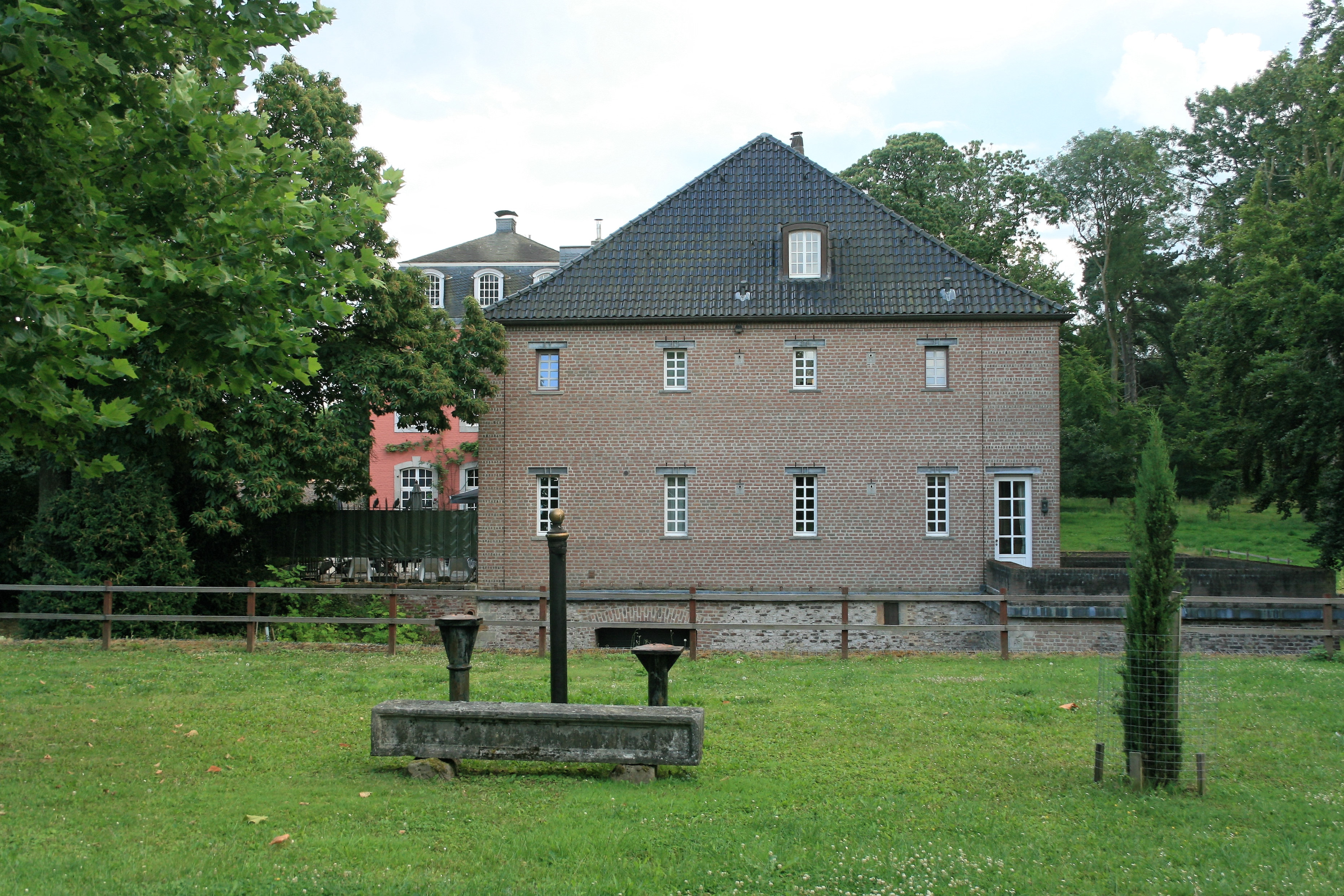
Schloss Breill, also called Gut Breill, is located south of Federal Highway 221 in the open fields between the North Rhine-Westphalian towns of Geilenkirchen and Übach-Palenberg on the territory of the Geilenkirchen district of Hünshoven. The castle complex originated from a medieval motte, which was replaced in the 15th/16th century by a manor house. This was expanded and modified from the 17th to the 19th century before being completely destroyed in World War II. Partly rebuilt in the post-war period, the complex has been listed as an architectural monument since January 10, 1983.
- Category
- Forgotten History
- Location
- Geilenkirchen, Germany
- Coordinates
- 50.94840, 6.13592
- How to get there
- Google MapsApple MapsOpenStreetMap
- Wikidata
- Q1359349
What is Schloss Breill?
Schloss Breill is a Forgotten History place on VeroMaps. Other places close by: Mühle Hommerschen, Burg Geilenkirchen, Schloss Trips, Grube Carl Alexander.
Where is Schloss Breill?
Schloss Breill is in Geilenkirchen, Germany. Coordinates: 50.94840, 6.13592.
How do I get to Schloss Breill?
Schloss Breill is at Geilenkirchen, Germany (50.94840, 6.13592). Enter these coordinates in Google Maps, Apple Maps or OpenStreetMap for walking, cycling or driving directions.