Forgotten History
Schkölen Castle
Schkölen, Germany
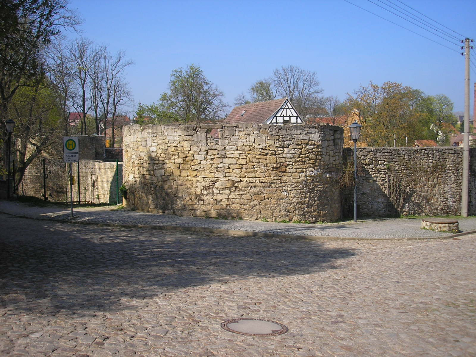
Schkölen Castle (German: Burg Schkölen) is a partially preserved water castle stand at a height of 210 metres above sea level (NN) in the centre (Ringstraße 9) of the town of Schkölen in the county of Saale-Holzland-Kreis in the German state of Thuringia.
- Category
- Forgotten History
- Location
- Schkölen, Germany
- Coordinates
- 51.04194, 11.81944
- How to get there
- Google MapsApple MapsOpenStreetMap
- Wikidata
- Q1013884
What is Schkölen Castle?
Schkölen Castle is a Forgotten History place on VeroMaps. Other places close by: Burg Camburg, Burg Tautenburg, Friedrichstanneck Castle, Rudelsburg.
Where is Schkölen Castle?
Schkölen Castle is in Schkölen, Germany. Coordinates: 51.04194, 11.81944.
How do I get to Schkölen Castle?
Schkölen Castle is at Schkölen, Germany (51.04194, 11.81944). Enter these coordinates in Google Maps, Apple Maps or OpenStreetMap for walking, cycling or driving directions.