Forgotten History
Saterslo
Dinkelland, Netherlands
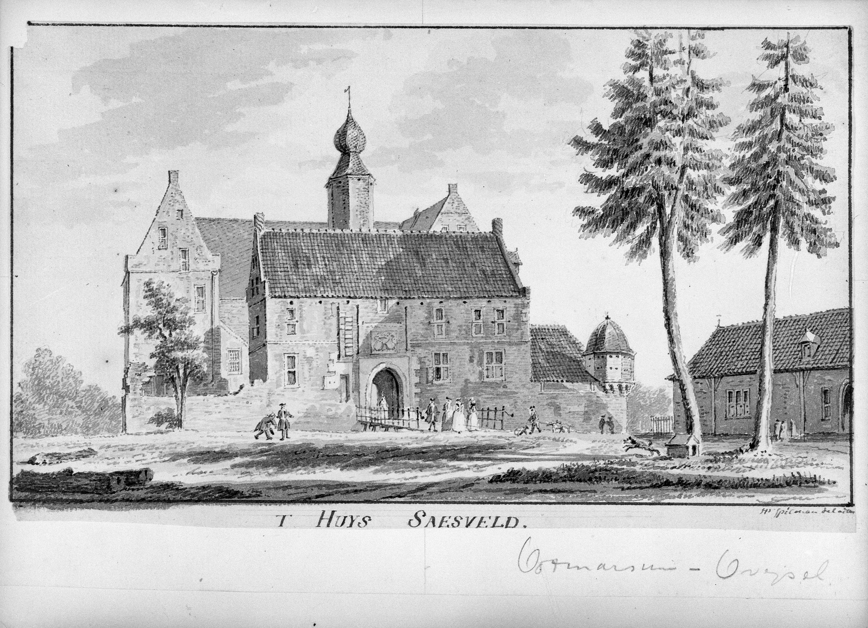
The House Saasveld or Saterslo was a castle and manor in the Dutch hamlet of Saasveld, province of Overijssel. The castle housed a Catholic secret church in the 17th and 18th centuries. After the castle was demolished in 1817, a church was built on the site, of which the current St. Plechelmus Church is the successor.
- Category
- Forgotten History
- Location
- Dinkelland, Netherlands
- Coordinates
- 52.33042, 6.81033
- How to get there
- Google MapsApple MapsOpenStreetMap
- Wikidata
- Q133161052
What is Saterslo?
Saterslo is a Forgotten History place on VeroMaps. Other places close by: Soaseler Möl, De Vier Winden, Doopsgezinde kerk, Borne, Water tower.
Where is Saterslo?
Saterslo is in Dinkelland, Netherlands. Coordinates: 52.33042, 6.81033.
How do I get to Saterslo?
Saterslo is at Dinkelland, Netherlands (52.33042, 6.81033). Enter these coordinates in Google Maps, Apple Maps or OpenStreetMap for walking, cycling or driving directions.