Forgotten History
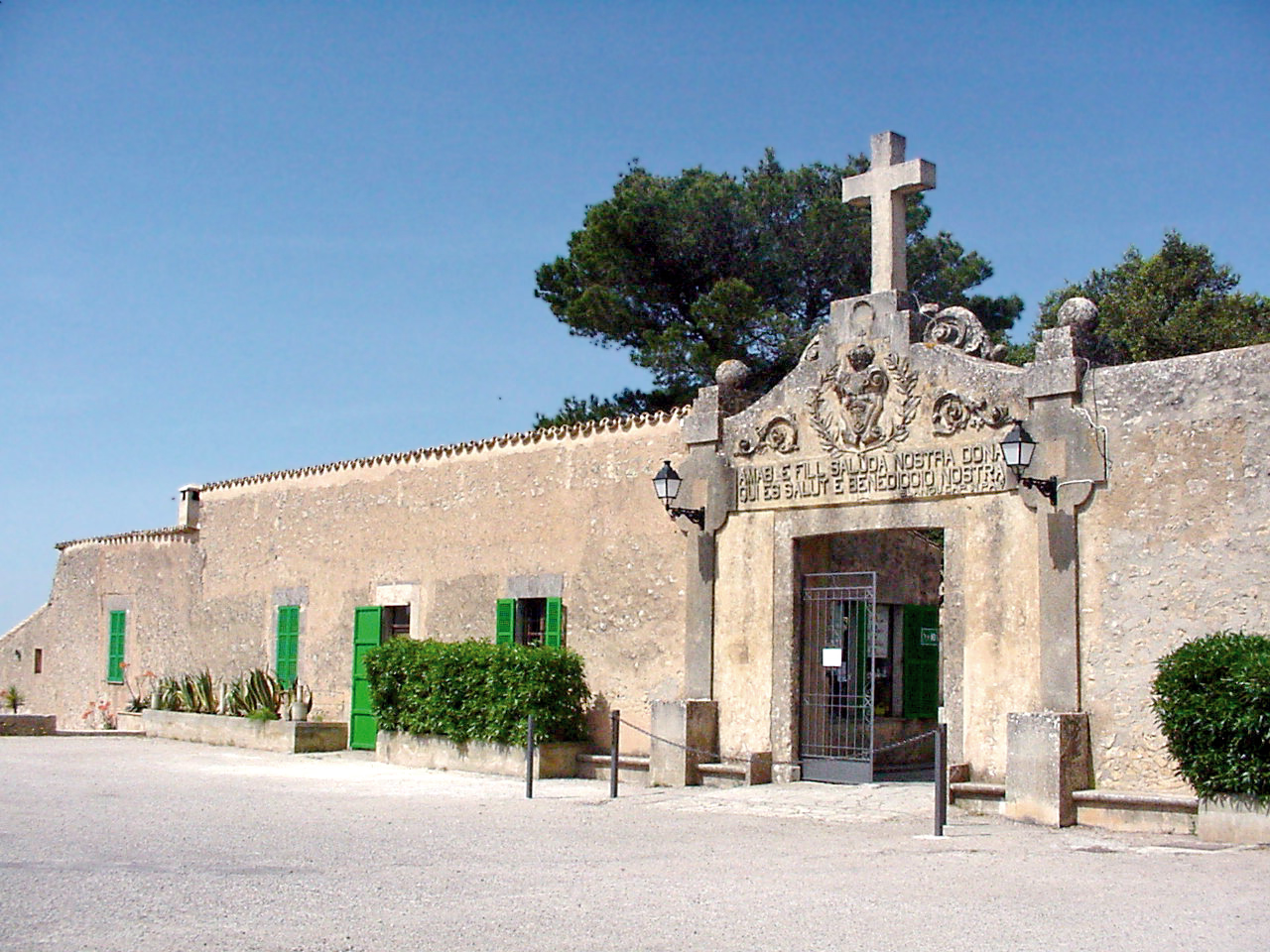
Santuari de Nostra Senyora de Cura
Algaida, Spain
Das Kloster Santuari de Nostra Senyora de Cura (kurz: Santuari de Cura) liegt auf der Spitze des Puig de Randa auf der Baleareninsel Mallorca in Höhe von 543 Metern zwischen den Gemeinden Algaida und Llucmajor. Der einzelnstehende Berg, zu dessen Füßen das zur Gemeinde Algaida gehörende kleine Dorf Randa liegt, erhebt sich steil über der mallorquinischen Tiefebene und ist aus allen Richtungen schon von weitem gut zu erkennen. Die Spitze des Berges wird nicht nur von dem Kloster Cura, sondern auch von einer ballonartigen Radaranlage gekrönt, die man von weitem deutlicher erkennt als das Kloster. Das Franziskanerkloster ist das oberste und größte der drei Klöster auf dem Puig de Randa und für die Mallorquiner nach dem Santuari de Lluc der zweitwichtigste Wallfahrtsort der Insel.
- Category
- Forgotten History
- Location
- Algaida, Spain
- Coordinates
- 39.52703, 2.92648
- How to get there
- Google MapsApple MapsOpenStreetMap
- Wikidata
- Q458166
What is Santuari de Nostra Senyora de Cura?
Santuari de Nostra Senyora de Cura is a Forgotten History place on VeroMaps. Other places close by: Son Fornés, Cova del Camp del Bisbe, Talaiot de Son Fred, Mega-Park.
Where is Santuari de Nostra Senyora de Cura?
Santuari de Nostra Senyora de Cura is in Algaida, Spain. Coordinates: 39.52703, 2.92648.
How do I get to Santuari de Nostra Senyora de Cura?
Santuari de Nostra Senyora de Cura is at Algaida, Spain (39.52703, 2.92648). Enter these coordinates in Google Maps, Apple Maps or OpenStreetMap for walking, cycling or driving directions.