Local Legends
Santa Llúcia
Margalef, Spain
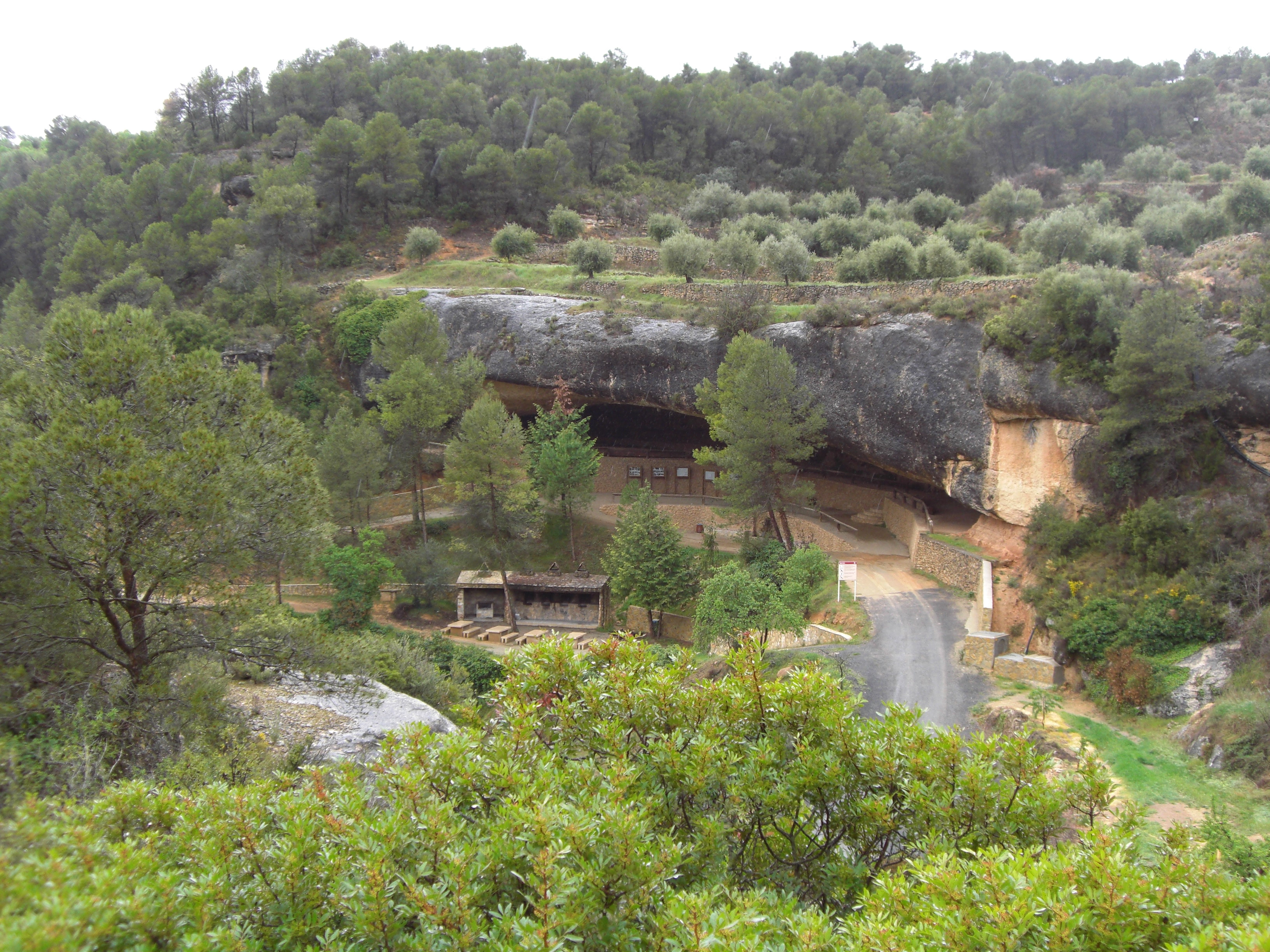
La cueva hospital de Santa Llúcia, cerca del pueblo de La Bisbal de Montsant (Tarragona) es una amplia y poco profunda cueva, utilizada por el hombre desde la antigüedad que adquirió un relieve muy destacado durante la guerra civil española al convertirse en un hospital de las Brigadas Internacionales que luchaban, en el verano de 1938, en la batalla del Ebro.
- Category
- Local Legends
- Location
- Margalef, Spain
- Coordinates
- 41.28697, 0.71697
- How to get there
- Google MapsApple MapsOpenStreetMap
- Wikidata
- Q8352504
What is Santa Llúcia?
Santa Llúcia is a Local Legends place on VeroMaps. Other places close by: Castell de Flix, La Musara, Castell de Miravet, Old Village of Mequinenza.
Where is Santa Llúcia?
Santa Llúcia is in Margalef, Spain. Coordinates: 41.28697, 0.71697.
How do I get to Santa Llúcia?
Santa Llúcia is at Margalef, Spain (41.28697, 0.71697). Enter these coordinates in Google Maps, Apple Maps or OpenStreetMap for walking, cycling or driving directions.