Photo corners
Salthouse Marshes
Salthouse, United Kingdom
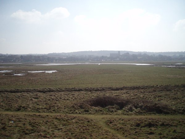
Salthouse Marshes is a 66-hectare (160-acre) nature reserve west of Sheringham in Norfolk. It is managed by the Norfolk Wildlife Trust. It is part of the North Norfolk Coast Site of Special Scientific Interest, Geological Conservation Review site, Nature Conservation Review site, Grade I. Ramsar site, Special Areas of Conservation and Special Protection Area. It is also in the Norfolk Coast Area of Outstanding Natural Beauty. This site has grazing marsh and small pools. Birds include snow buntings, Lapland buntings, little egrets, shore larks and barn owls. There is public access.
- Category
- Photo Spots
- Location
- Salthouse, United Kingdom
- Coordinates
- 52.95600, 1.08200
- How to get there
- Google MapsApple MapsOpenStreetMap
- Wikidata
- Q7406119
What is Salthouse Marshes?
Salthouse Marshes is a Photo Spots place on VeroMaps. Other places close by: Cley Marshes, Kelling Heath, Morston Hall, Blakeney Point.
Where is Salthouse Marshes?
Salthouse Marshes is in Salthouse, United Kingdom. Coordinates: 52.95600, 1.08200.
How do I get to Salthouse Marshes?
Salthouse Marshes is at Salthouse, United Kingdom (52.95600, 1.08200). Enter these coordinates in Google Maps, Apple Maps or OpenStreetMap for walking, cycling or driving directions.