Photo corners
Søraust-Svalbard Nature Reserve
Svalbard, Norway
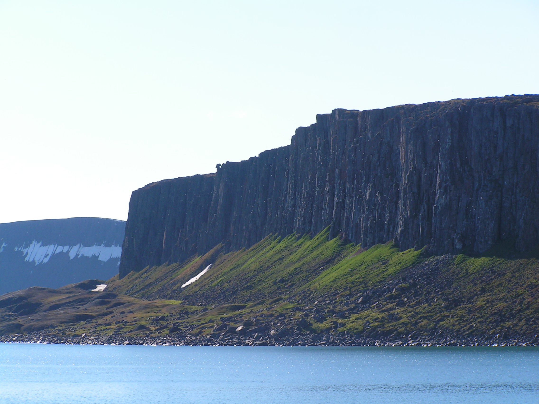
Søraust-Svalbard Nature Reserve (Norwegian: Søraust-Svalbard naturreservat) is located in the south-eastern part of the Svalbard archipelago in Norway. The nature reserve covers all of Edgeøya and Barentsøya in addition to a number of smaller islands, including Thousand Islands, Ryke Yseøyane and Halvmåneøya. The reserve is 21,825 square kilometres (8,427 sq mi), of which 6,400 square kilometres (2,500 sq mi) is on land and 15,426 square kilometres (5,956 sq mi) is on water—making it the second-largest preserved area in Norway (including national parks). The reserve has been protected since 1 July 1973 and borders the Nordaust-Svalbard Nature Reserve to the north.
- Category
- Photo Spots
- Location
- Svalbard, Norway
- Coordinates
- 78.00000, 22.00000
- How to get there
- Google MapsApple MapsOpenStreetMap
- Wikidata
- Q3066139
What is Søraust-Svalbard Nature Reserve?
Søraust-Svalbard Nature Reserve is a Photo Spots place on VeroMaps.
Where is Søraust-Svalbard Nature Reserve?
Søraust-Svalbard Nature Reserve is in Svalbard, Norway. Coordinates: 78.00000, 22.00000.
How do I get to Søraust-Svalbard Nature Reserve?
Søraust-Svalbard Nature Reserve is at Svalbard, Norway (78.00000, 22.00000). Enter these coordinates in Google Maps, Apple Maps or OpenStreetMap for walking, cycling or driving directions.