Urbex & Abandoned
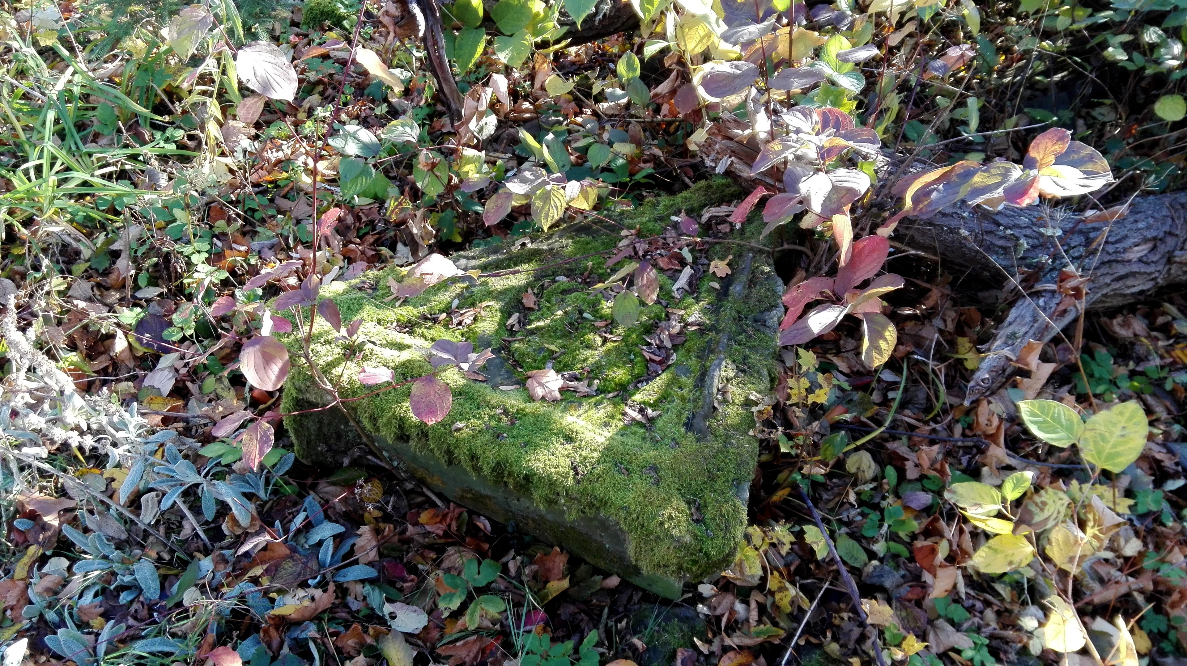
Ruiny Sanktuarium Matki Bożej Bolesnej z 1743 r. na Kaplicznej Górze
Prudnik, Poland
Sanktuarium Matki Bożej Bolesnej – sanktuarium wraz z klasztorem, które znajdowało się na Kaplicznej Górze w Prudniku. Zbudowane w 1753, uszkodzone w wyniku działań wojennych w 1945 i zburzone w pierwszych latach powojennych.
- Category
- Urbex & Abandoned
- Location
- Prudnik, Poland
- Coordinates
- 50.30230, 17.55745
- How to get there
- Google MapsApple MapsOpenStreetMap
- Wikidata
- Q58170380
What is Ruiny Sanktuarium Matki Bożej Bolesnej z 1743 r. na Kaplicznej Górze?
Ruiny Sanktuarium Matki Bożej Bolesnej z 1743 r. na Kaplicznej Górze is a Urbex & Abandoned place on VeroMaps. Other places close by: 5 Henryka Sienkiewicza Street in Prudnik, Castle in Łąka Prudnicka, 65 Piastowska Street in Prudnik, Leuchtenštejn.
Where is Ruiny Sanktuarium Matki Bożej Bolesnej z 1743 r. na Kaplicznej Górze?
Ruiny Sanktuarium Matki Bożej Bolesnej z 1743 r. na Kaplicznej Górze is in Prudnik, Poland. Coordinates: 50.30230, 17.55745.
How do I get to Ruiny Sanktuarium Matki Bożej Bolesnej z 1743 r. na Kaplicznej Górze?
Ruiny Sanktuarium Matki Bożej Bolesnej z 1743 r. na Kaplicznej Górze is at Prudnik, Poland (50.30230, 17.55745). Enter these coordinates in Google Maps, Apple Maps or OpenStreetMap for walking, cycling or driving directions.