Urbex & Abandoned
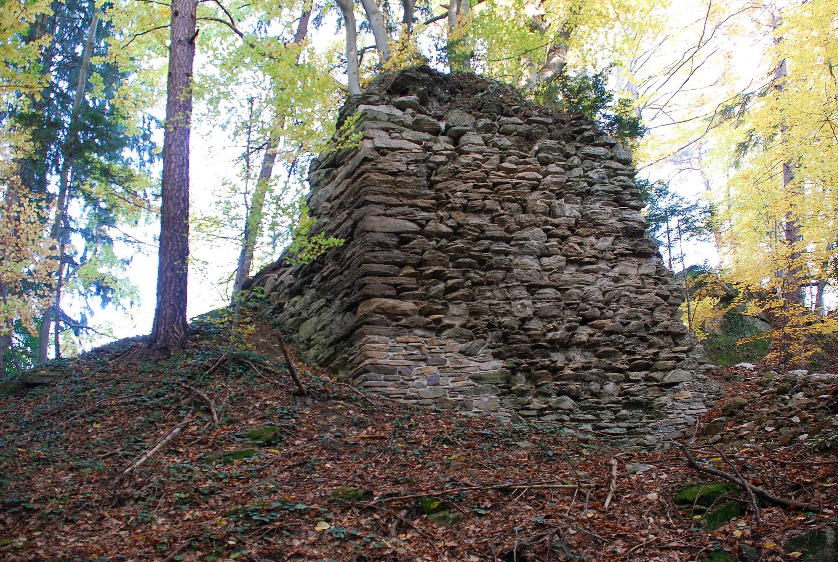
Ruine Spangstein Ahnherrnschloss, Schwanberg, Styria
Trahutten, Austria
Die Burgruine Spangstein, auch als Ahnherrnschloss bekannt, ist die Ruine einer Höhenburg im Stullneggraben, etwa 4,8 Kilometer nordwestlich von Bad Schwanberg im Bezirk Deutschlandsberg in Österreich. Sie steht unter Denkmalschutz und liegt auf dem Grundstück Nr.
- Category
- Urbex & Abandoned
- Location
- Trahutten, Austria
- Coordinates
- 46.79440, 15.17050
- How to get there
- Google MapsApple MapsOpenStreetMap
- Wikidata
- Q2175439
What is Ruine Spangstein Ahnherrnschloss, Schwanberg, Styria?
Ruine Spangstein Ahnherrnschloss, Schwanberg, Styria is a Urbex & Abandoned place on VeroMaps. Other places close by: Ruine Wessenstein, Marhof, Styria, Grillitschhütte, Hebalmkapelle, Roman quarry Spitzelofen.
Where is Ruine Spangstein Ahnherrnschloss, Schwanberg, Styria?
Ruine Spangstein Ahnherrnschloss, Schwanberg, Styria is in Trahutten, Austria. Coordinates: 46.79440, 15.17050.
How do I get to Ruine Spangstein Ahnherrnschloss, Schwanberg, Styria?
Ruine Spangstein Ahnherrnschloss, Schwanberg, Styria is at Trahutten, Austria (46.79440, 15.17050). Enter these coordinates in Google Maps, Apple Maps or OpenStreetMap for walking, cycling or driving directions.