Urbex & Abandoned
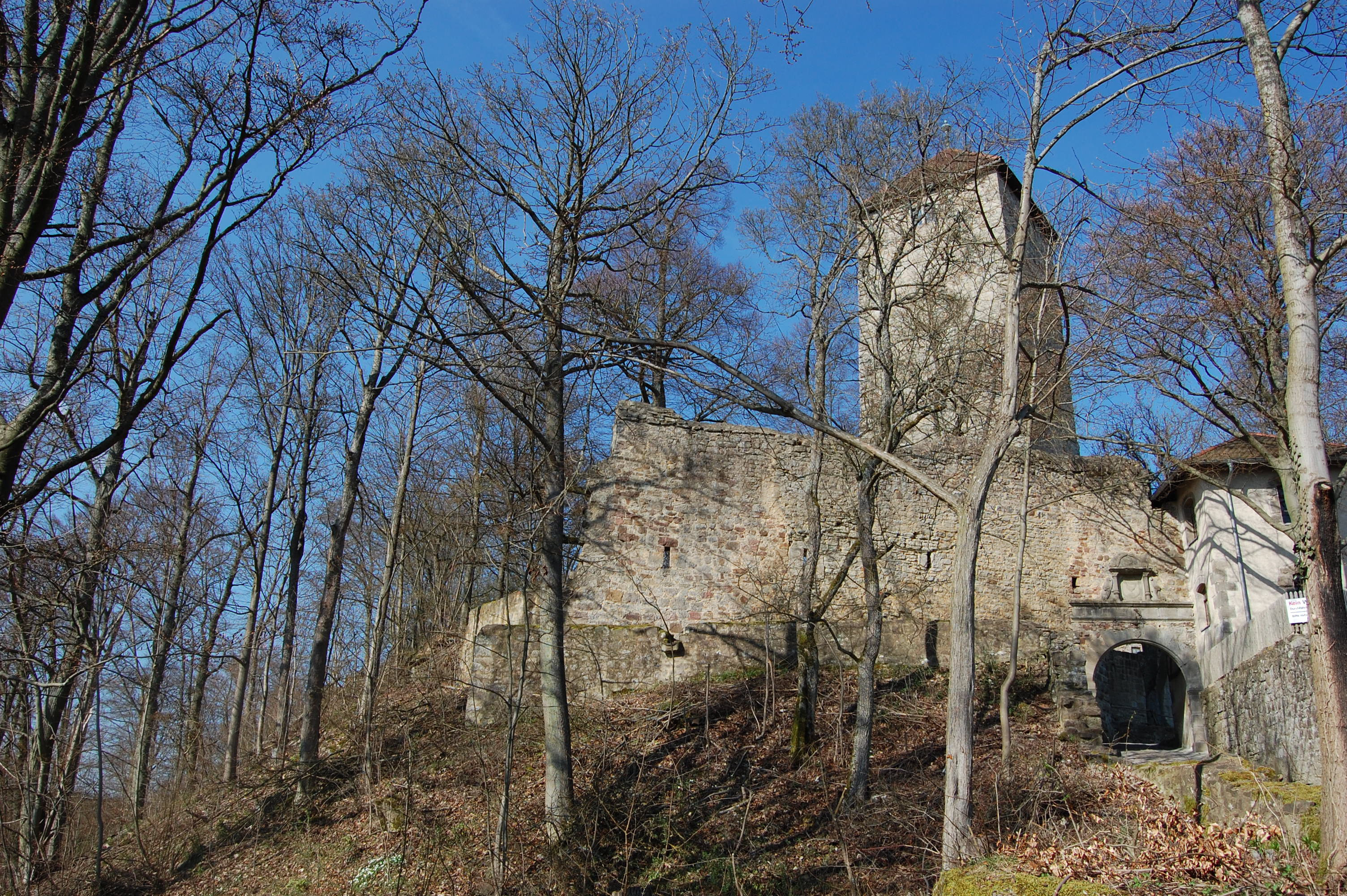
Ruine Lichtenburg
Lichtenburg, Germany
Die Lichtenburg ist die Ruine einer Höhenburg auf dem 481,6 m ü. NHN hohen Schloßberg nördlich von Ostheim vor der Rhön in Bayern. Sie ist zugleich ein Gemeindeteil der Stadt Ostheim vor der Rhön im Landkreis Rhön-Grabfeld (Unterfranken, Bayern).
- Category
- Urbex & Abandoned
- Location
- Lichtenburg, Germany
- Coordinates
- 50.47720, 10.22970
- How to get there
- Google MapsApple MapsOpenStreetMap
- Wikidata
- Q2175354
What is Ruine Lichtenburg?
Ruine Lichtenburg is a Urbex & Abandoned place on VeroMaps. Other places close by: Turm, Wegkapelle, Grundmühle, Prinzregent-Luitpold-Jubiläumsbrunnen.
Where is Ruine Lichtenburg?
Ruine Lichtenburg is in Lichtenburg, Germany. Coordinates: 50.47720, 10.22970.
How do I get to Ruine Lichtenburg?
Ruine Lichtenburg is at Lichtenburg, Germany (50.47720, 10.22970). Enter these coordinates in Google Maps, Apple Maps or OpenStreetMap for walking, cycling or driving directions.