Photo corners
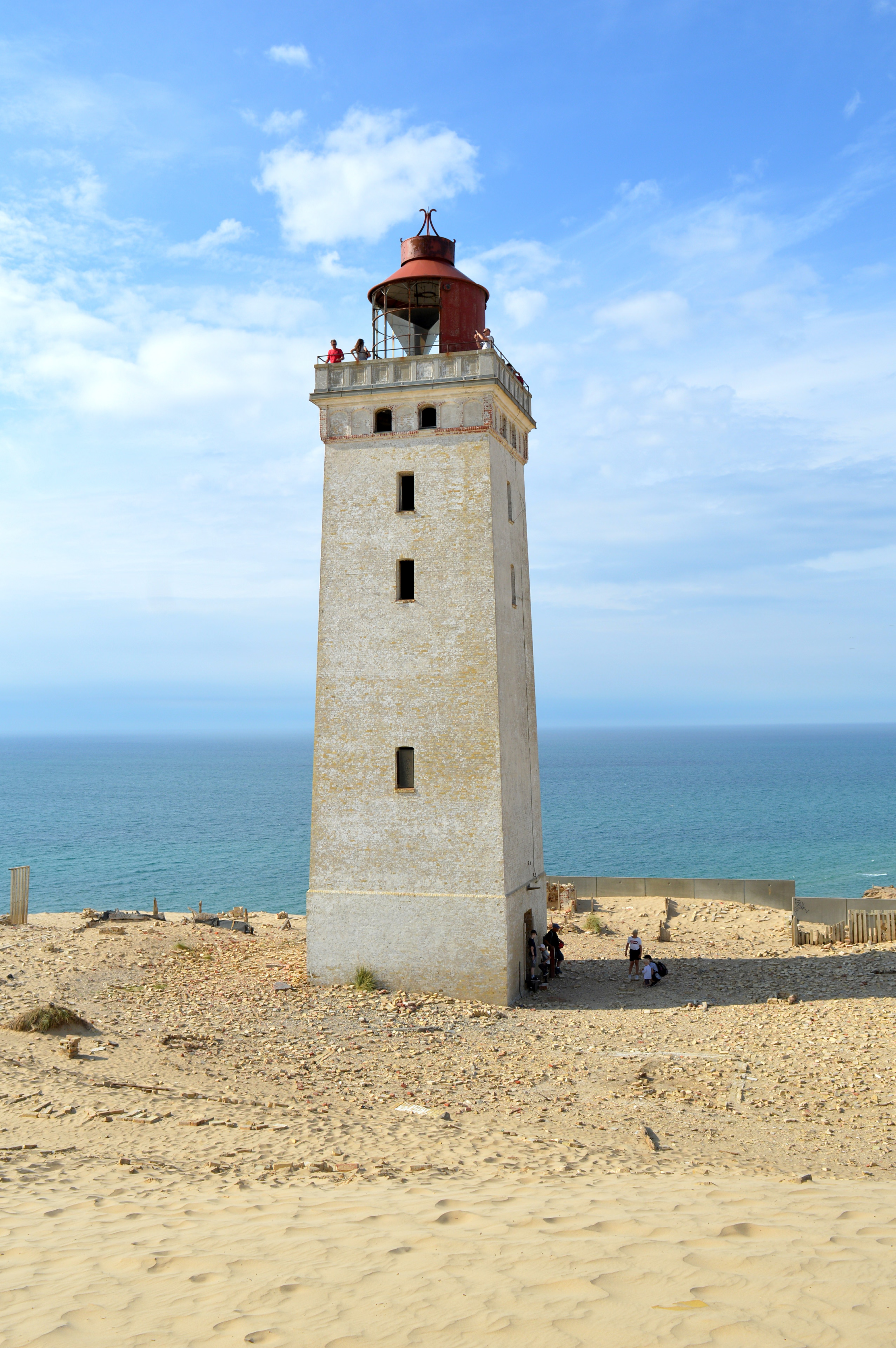
Rubjerg Knude lighthouse
Vra, Denmark
Rubjerg Knude Lighthouse (Danish: Rubjerg Knude Fyr) is on the coast of the North Sea in Rubjerg, in the Jutland municipality of Hjørring in northern Denmark. It was first lit on 27 December 1900. Construction of the lighthouse began in 1899.
- Category
- Photo Spots
- Location
- Vra, Denmark
- Coordinates
- 57.44900, 9.77550
- How to get there
- Google MapsApple MapsOpenStreetMap
- Wikidata
- Q2206180
What is Rubjerg Knude lighthouse?
Rubjerg Knude lighthouse is a Photo Spots place on VeroMaps. Other places close by: Tornby Dyssen, Hirtshals Lighthouse, Dronninglund Castle, Store Restrup Herregård.
Where is Rubjerg Knude lighthouse?
Rubjerg Knude lighthouse is in Vra, Denmark. Coordinates: 57.44900, 9.77550.
How do I get to Rubjerg Knude lighthouse?
Rubjerg Knude lighthouse is at Vra, Denmark (57.44900, 9.77550). Enter these coordinates in Google Maps, Apple Maps or OpenStreetMap for walking, cycling or driving directions.