Urbex & Abandoned
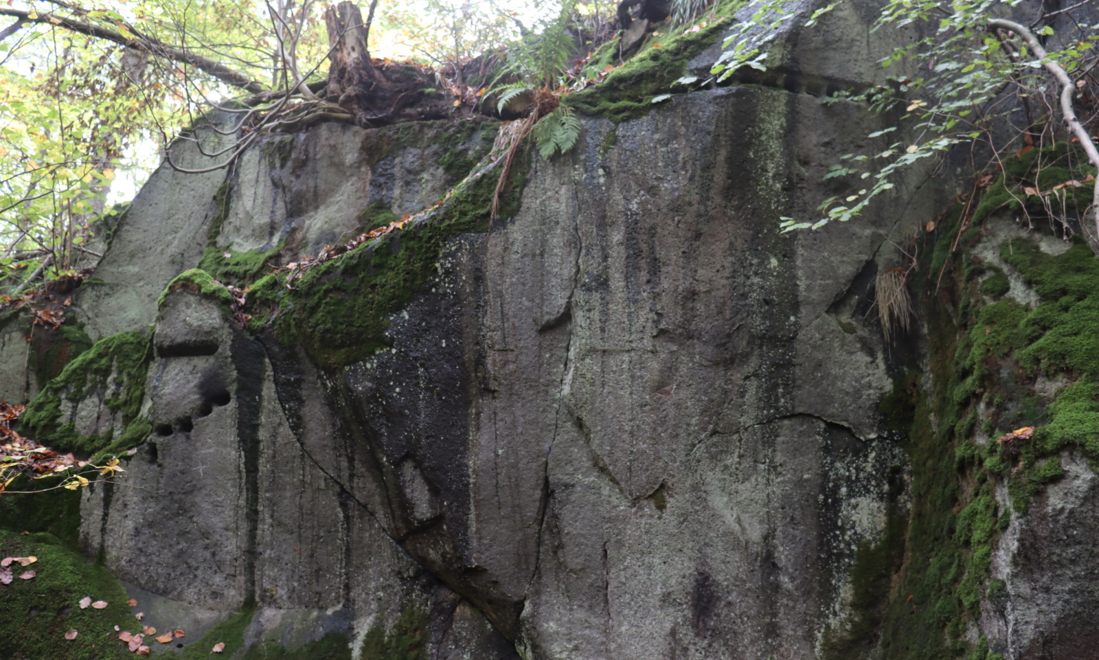
Römersteinbruch bei Andernach
Brohl-Lutzing, Germany
Der römische Steinbruch bei Andernach befindet sich an der durch einen Vulkanausbruch vor etwa 100. 000 Jahren entstandenen Erhebung der Hohen Buche in der Osteifel.
- Category
- Urbex & Abandoned
- Location
- Brohl-Lutzing, Germany
- Coordinates
- 50.46922, 7.33505
- How to get there
- Google MapsApple MapsOpenStreetMap
- Wikidata
- Q114862981
What is Römersteinbruch bei Andernach?
Römersteinbruch bei Andernach is a Urbex & Abandoned place on VeroMaps. Other places close by: Burg Hammerstein, Namedy Castle, Castle Rheineck, Rockenfeld.
Where is Römersteinbruch bei Andernach?
Römersteinbruch bei Andernach is in Brohl-Lutzing, Germany. Coordinates: 50.46922, 7.33505.
How do I get to Römersteinbruch bei Andernach?
Römersteinbruch bei Andernach is at Brohl-Lutzing, Germany (50.46922, 7.33505). Enter these coordinates in Google Maps, Apple Maps or OpenStreetMap for walking, cycling or driving directions.