Night Life
Rodboro Buildings
London, United Kingdom
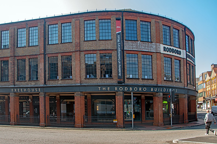
The Rodboro Buildings in Guildford was one of, if not the first, purpose-built car factories in England and the world. It is a Grade II listed building.
- Category
- Night Life
- Location
- London, United Kingdom
- Coordinates
- 51.23656, -0.57747
- How to get there
- Google MapsApple MapsOpenStreetMap
- Wikidata
- Q26280475
What is Rodboro Buildings?
Rodboro Buildings is a Night Life place on VeroMaps. Other places close by: Guildford pub bombings, Guildford Castle, Clandon Park, Albury Park.
Where is Rodboro Buildings?
Rodboro Buildings is in London, United Kingdom. Coordinates: 51.23656, -0.57747.
How do I get to Rodboro Buildings?
Rodboro Buildings is at London, United Kingdom (51.23656, -0.57747). Enter these coordinates in Google Maps, Apple Maps or OpenStreetMap for walking, cycling or driving directions.