Urbex & Abandoned
Rockaway quarry
Pacifica, United States
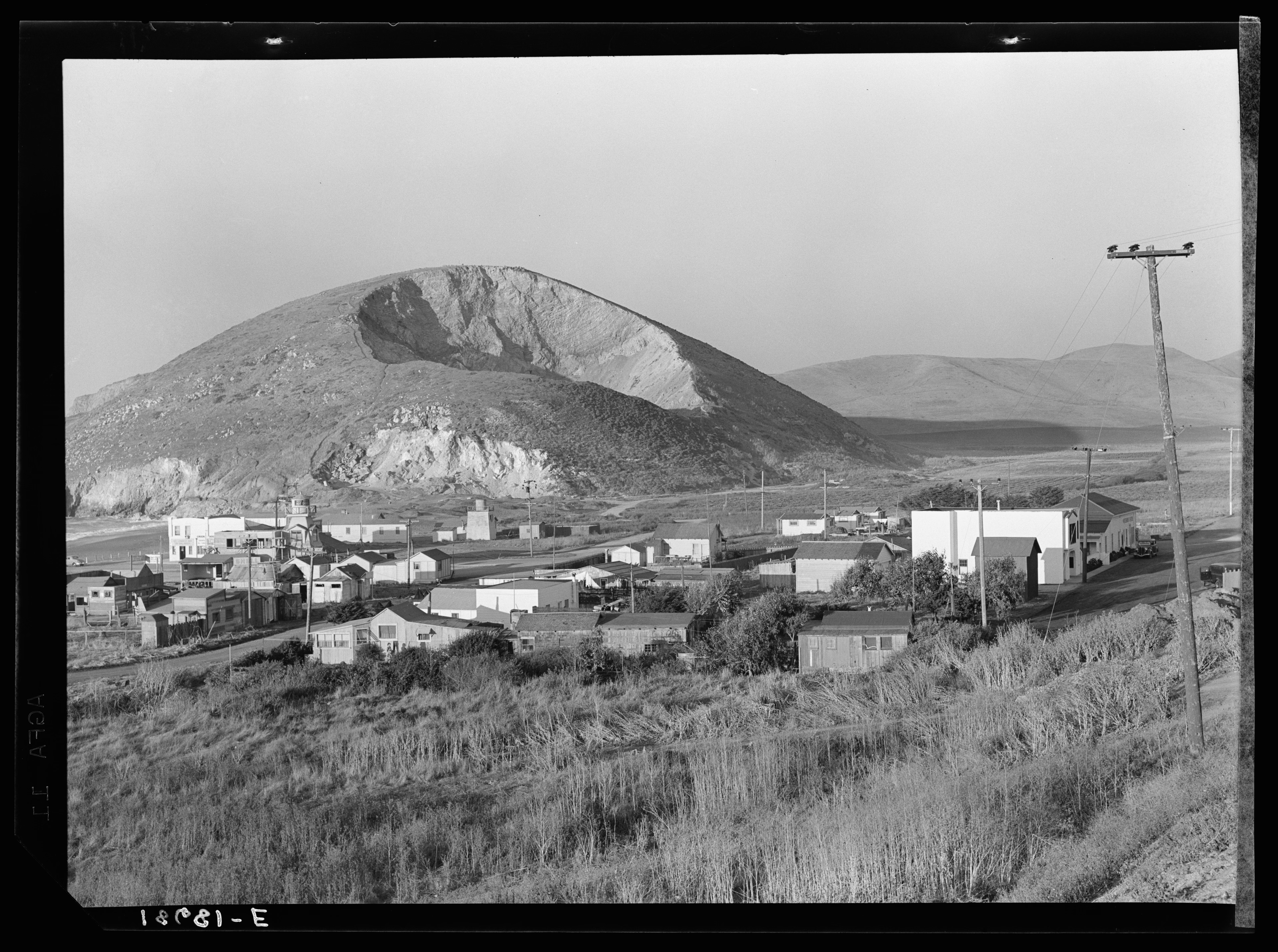
The Rockaway Quarry was a Calera limestone quarry in Pacifica, California, in the San Francisco Bay Area. Limestone from the site was first extracted by Ohlone from the village of Pruristac. Beginning in 1776, New Spaniards used California Indian labor to mine limestone and build structures like the Presidio and San Francisco missions. After the 1906 earthquake, the quarry's limestone was used to rebuild San Francisco. By the 1960s, operations declined, and the quarry permanently closed in 1987. Today it is privately held but is used as an informal hiking trail.
- Category
- Urbex & Abandoned
- Location
- Pacifica, United States
- Coordinates
- 37.61388, -122.49526
- How to get there
- Google MapsApple MapsOpenStreetMap
- Wikidata
- Q121142006
What is Rockaway quarry?
Rockaway quarry is a Urbex & Abandoned place on VeroMaps. Other places close by: Moss Beach Distillery, Doggie Diner, Sigmund Stern Recreation Grove, The Old Clam House.
Where is Rockaway quarry?
Rockaway quarry is in Pacifica, United States. Coordinates: 37.61388, -122.49526.
How do I get to Rockaway quarry?
Rockaway quarry is at Pacifica, United States (37.61388, -122.49526). Enter these coordinates in Google Maps, Apple Maps or OpenStreetMap for walking, cycling or driving directions.