Forgotten History
Ringwall Walleshausen
Munich, Germany
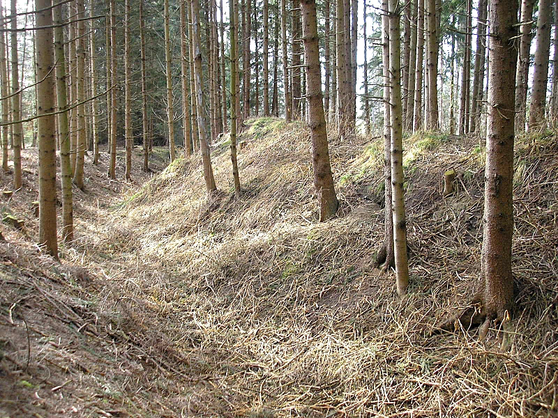
The early medieval wall of Walleshausen is located about 700 meters north of the high medieval hilltop castle of Walleshausen (municipality of Geltendorf) in the Landsberg am Lech district (Upper Bavaria) on a wooded hill. The well-preserved archaeological monument could go back to one of the numerous Hungarian-era fortifications in this area.
- Category
- Forgotten History
- Location
- Munich, Germany
- Coordinates
- 48.16090, 10.98750
- How to get there
- Google MapsApple MapsOpenStreetMap
- Wikidata
- Q2154129
What is Ringwall Walleshausen?
Ringwall Walleshausen is a Forgotten History place on VeroMaps. Other places close by: Burgstall Walleshausen, Schloss Kaltenberg, Katholische Kapelle St. Johann Nepomuk, Schloss Hofhegnenberg.
Where is Ringwall Walleshausen?
Ringwall Walleshausen is in Munich, Germany. Coordinates: 48.16090, 10.98750.
How do I get to Ringwall Walleshausen?
Ringwall Walleshausen is at Munich, Germany (48.16090, 10.98750). Enter these coordinates in Google Maps, Apple Maps or OpenStreetMap for walking, cycling or driving directions.