Forgotten History
Ringwall im Kirchholz (Haberskirch)
Germany
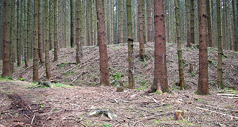
The early medieval ring wall in Kirchholz (Schlossberg) is located about 1000 meters east of the Friedberg district of Haberskirch (Aichach-Friedberg district, Swabia) on a wooded hill above Autobahn 8. The well-preserved archaeological monument is interpreted in recent literature as a fortified farmstead.
- Category
- Forgotten History
- Location
- Germany
- Coordinates
- 48.39790, 11.01130
- How to get there
- Google MapsApple MapsOpenStreetMap
- Wikidata
- Q2154132
What is Ringwall im Kirchholz (Haberskirch)?
Ringwall im Kirchholz (Haberskirch) is a Forgotten History place on VeroMaps. Other places close by: St. Nikolaus (Unterzell), St. Barbara (Oberzell), St. Emmeram, Katholische Kapelle Unserer Lieben Frau ob der Au, sog. Aukapelle.
Where is Ringwall im Kirchholz (Haberskirch)?
Ringwall im Kirchholz (Haberskirch) is in Germany. Coordinates: 48.39790, 11.01130.
How do I get to Ringwall im Kirchholz (Haberskirch)?
Ringwall im Kirchholz (Haberskirch) is at Germany (48.39790, 11.01130). Enter these coordinates in Google Maps, Apple Maps or OpenStreetMap for walking, cycling or driving directions.