Urbex & Abandoned
Riasg Buidhe
Argyll and Bute, United Kingdom
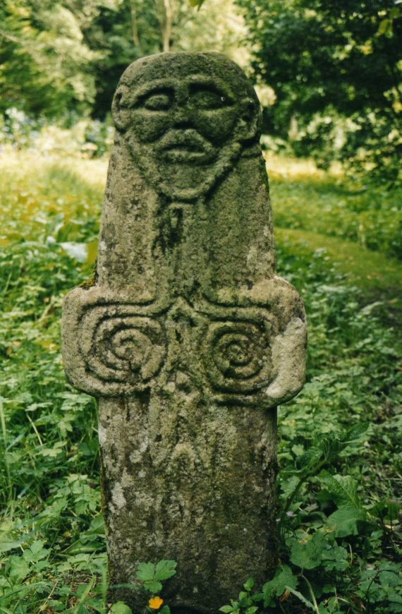
Riasg Buidhe (auch Reasagbuie genannt) ist ein im Jahre 1918 aufgegebenes Dorf im Osten der schottischen Insel Colonsay, die zu den Inneren Hebriden und zur Council Area Argyll and Bute gehört. Sie liegt etwa 24 Kilometer südlich der Isle of Mull. In Riasg Buidhe wurde eine Cross-Slab (Kreuzplatte) aus dem 7.
- Category
- Urbex & Abandoned
- Location
- Argyll and Bute, United Kingdom
- Coordinates
- 56.08159, -6.17059
- How to get there
- Google MapsApple MapsOpenStreetMap
- Wikidata
- Q1680352
What is Riasg Buidhe?
Riasg Buidhe is a Urbex & Abandoned place on VeroMaps. Other places close by: Ruvaal Lighthouse, Mulreesh, Shinghart, Dubh Artach Lighthouse.
Where is Riasg Buidhe?
Riasg Buidhe is in Argyll and Bute, United Kingdom. Coordinates: 56.08159, -6.17059.
How do I get to Riasg Buidhe?
Riasg Buidhe is at Argyll and Bute, United Kingdom (56.08159, -6.17059). Enter these coordinates in Google Maps, Apple Maps or OpenStreetMap for walking, cycling or driving directions.