Photo corners
Réunion National Park
Cilaos, France
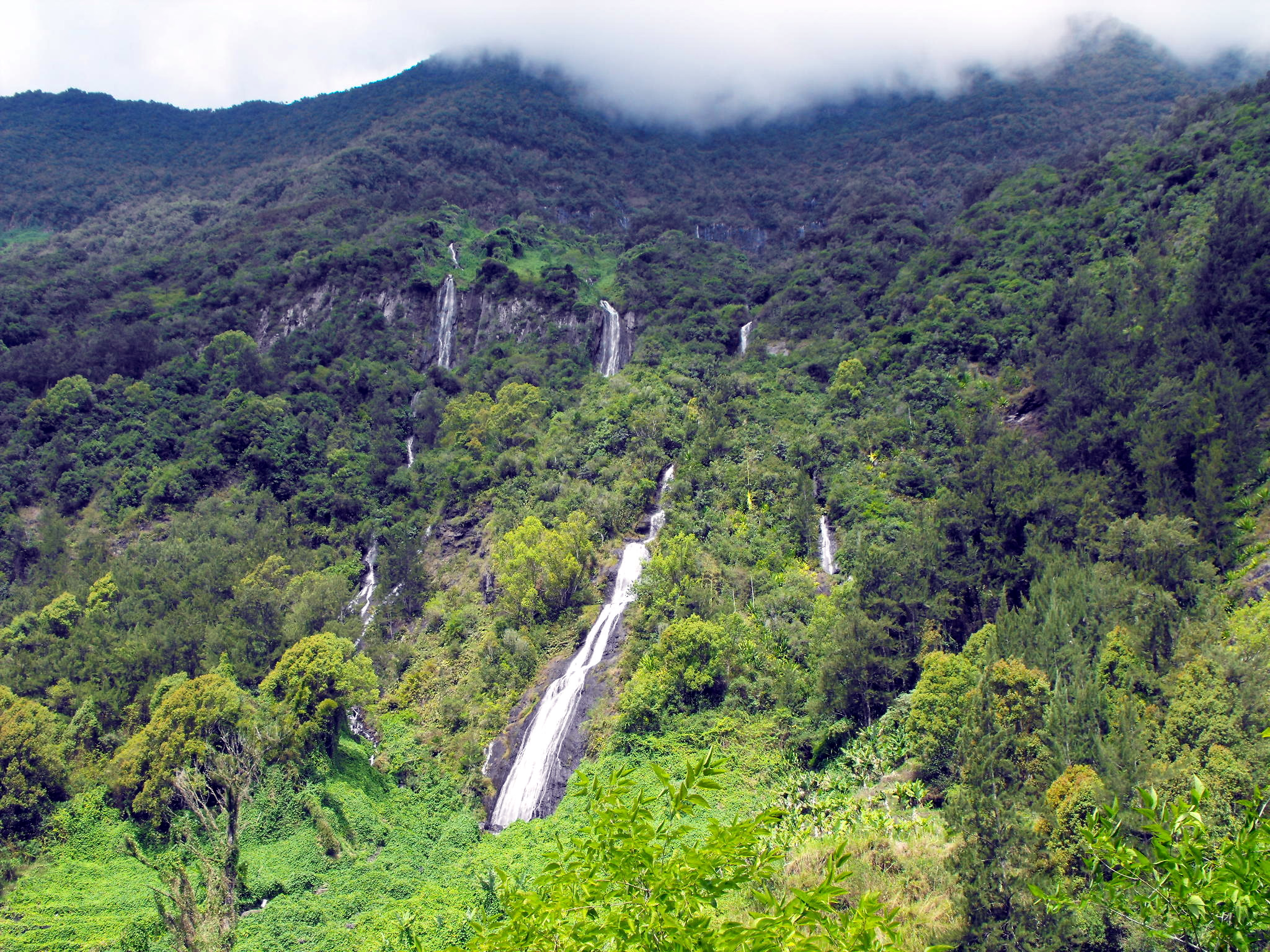
Réunion National Park (French: Parc national de La Réunion) is a National Park of France located on the island of Réunion, an overseas department in the western Indian Ocean. Established on 5 March 2007, the park protects the endemic ecosystems of Les Hauts, Réunion's mountainous interior, and covers around 42% of the island. Notable endemic species include the Réunion cuckooshrike and the Reunion Island day gecko. Plans for a park date back to 1985, and in a public survey in 2004, the communes of Réunion approved the creation of a national park. It officially came into existence in 2007. The park's volcanic landscape, including the Piton de la Fournaise, an active volcano, was designated a World Heritage Site in 2010, under the name "Pitons, cirques and remparts of Reunion Island" for its imposing rugged terrain and exceptional biodiversity. The park's mission, other than preserving landscape and biodiversity, is to share knowledge and welcome visitors, and to work together with local communes. It is a popular destination for hiking and mountaineering. Controversies have emerged over economic development in the park, notably the exploitation of geothermal power. In 2016, the Regional Council of Réunion had plans to downgrade the national park to a regional nature park to ease tourism development. This was contested by the park authorities and opposition politicians.
- Category
- Photo Spots
- Location
- Cilaos, France
- Coordinates
- -21.15000, 55.50000
- How to get there
- Google MapsApple MapsOpenStreetMap
- Wikidata
- Q550389
What is Réunion National Park?
Réunion National Park is a Photo Spots place on VeroMaps. Other places close by: caverne Dufour, belvédère de Bois Court, Mussard cave, Fenêtre des Makes.
Where is Réunion National Park?
Réunion National Park is in Cilaos, France. Coordinates: -21.15000, 55.50000.
How do I get to Réunion National Park?
Réunion National Park is at Cilaos, France (-21.15000, 55.50000). Enter these coordinates in Google Maps, Apple Maps or OpenStreetMap for walking, cycling or driving directions.