Forgotten History
Reitlingsbefestigungen
Lower Saxony, Germany
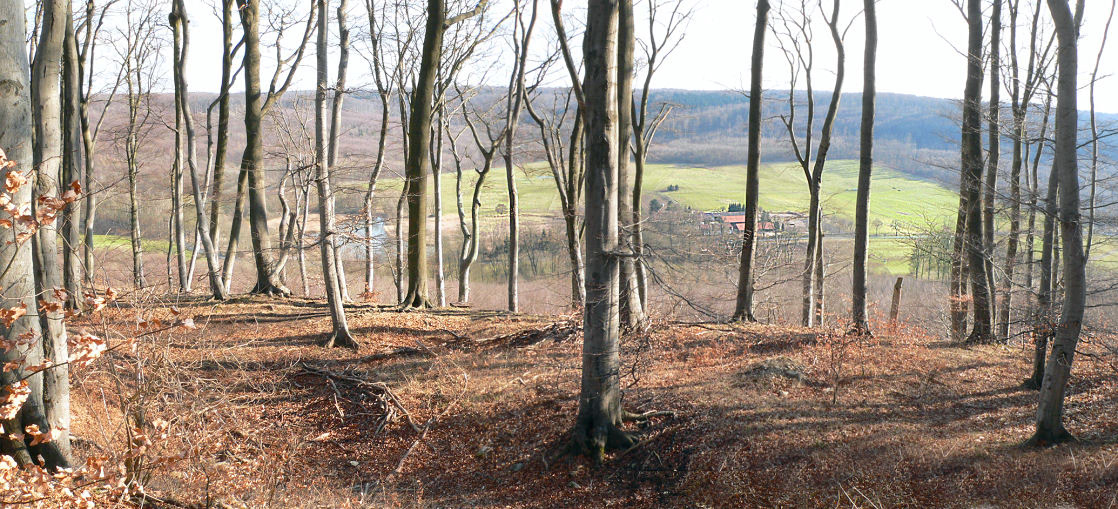
The Reitling fortifications are several ring walls and ramparts on the mountaintops and in the lowlands of the Reitling valley in the Elm ridge in Lower Saxony, about 20 km southeast of Braunschweig. These are the remains of defensive structures from different phases of development. They were built as early historical structures around the 5th century BC. BC and ended with centuries-long phases of disuse in the Middle Ages around 1300.
- Category
- Forgotten History
- Location
- Lower Saxony, Germany
- Coordinates
- 52.21170, 10.74610
- How to get there
- Google MapsApple MapsOpenStreetMap
- Wikidata
- Q2142197
What is Reitlingsbefestigungen?
Reitlingsbefestigungen is a Forgotten History place on VeroMaps. Other places close by: Burg Ampleben, Cremlingen transmitter, Asseburg, Meescheberg.
Where is Reitlingsbefestigungen?
Reitlingsbefestigungen is in Lower Saxony, Germany. Coordinates: 52.21170, 10.74610.
How do I get to Reitlingsbefestigungen?
Reitlingsbefestigungen is at Lower Saxony, Germany (52.21170, 10.74610). Enter these coordinates in Google Maps, Apple Maps or OpenStreetMap for walking, cycling or driving directions.