Photo corners
Ray Island
United Kingdom
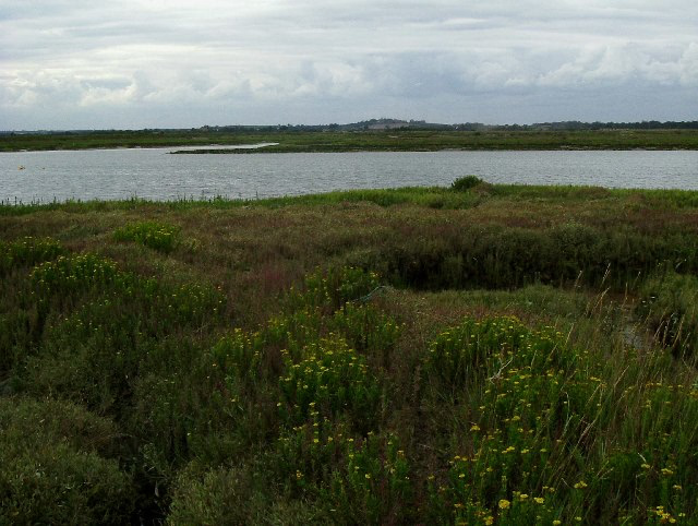
Ray Island, also known as the Ray, is a 40. 5-hectare (100-acre) nature reserve west of Mersea Island in Essex. The site is a sandy hill rising out of an area of saltmarsh between Strood Channel and Ray Channel. The island is owned by the National Trust, who bought it in 1970.
- Category
- Photo Spots
- Location
- United Kingdom
- Coordinates
- 51.79440, 0.90694
- How to get there
- Google MapsApple MapsOpenStreetMap
- Wikidata
- Q7297651
What is Ray Island?
Ray Island is a Photo Spots place on VeroMaps. Other places close by: Abberton Reservoir, Balkerne Gate, Colchester Castle, Dengie SPA.
Where is Ray Island?
Ray Island is in United Kingdom. Coordinates: 51.79440, 0.90694.
How do I get to Ray Island?
Ray Island is at United Kingdom (51.79440, 0.90694). Enter these coordinates in Google Maps, Apple Maps or OpenStreetMap for walking, cycling or driving directions.