Photo corners
Pyrénées National Park
Cauterets, France
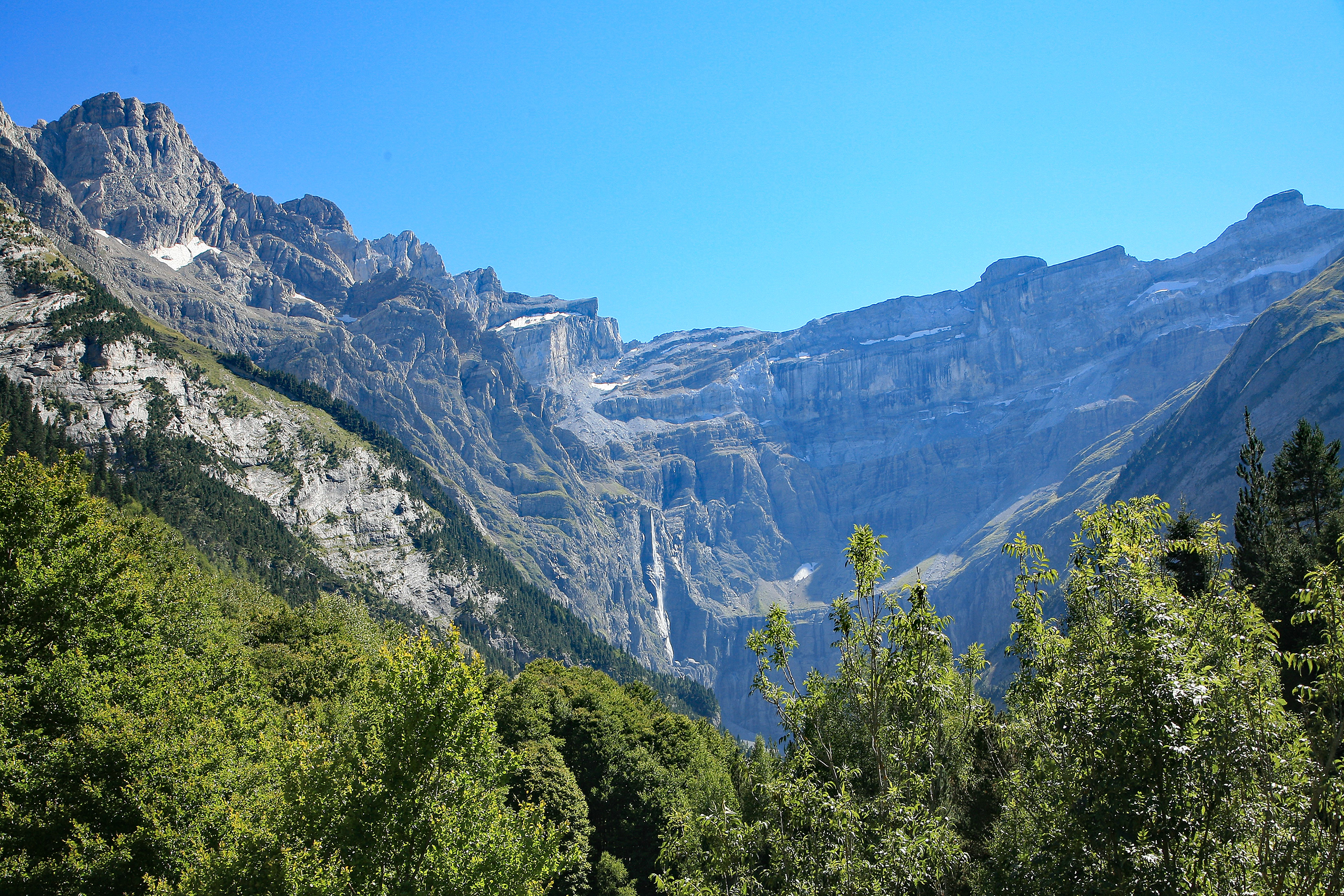
Pyrénées National Park (French: Parc national des Pyrénées; Occitan: Parc Nacional dels Pireneus) is a French national park located within the departments of Hautes-Pyrénées and Pyrénées-Atlantiques. The park is located along the border of France and Spain along the Pyrenees Mountains, with a scenic landscape offering a variety of outdoor activities including hiking, skiing, mountain climbing and observing wildlife.
- Category
- Photo Spots
- Location
- Cauterets, France
- Coordinates
- 42.82750, -0.17583
- How to get there
- Google MapsApple MapsOpenStreetMap
- Wikidata
- Q738435
What is Pyrénées National Park?
Pyrénées National Park is a Photo Spots place on VeroMaps. Other places close by: Chapelle Notre-Dame de Pouey-Laün, Ermita de San Nicolás de Bujaruelo, bridge of Bujaruelo, Lartosa.
Where is Pyrénées National Park?
Pyrénées National Park is in Cauterets, France. Coordinates: 42.82750, -0.17583.
How do I get to Pyrénées National Park?
Pyrénées National Park is at Cauterets, France (42.82750, -0.17583). Enter these coordinates in Google Maps, Apple Maps or OpenStreetMap for walking, cycling or driving directions.