Photo corners
Puy Griou
Vic-sur-Cere, France
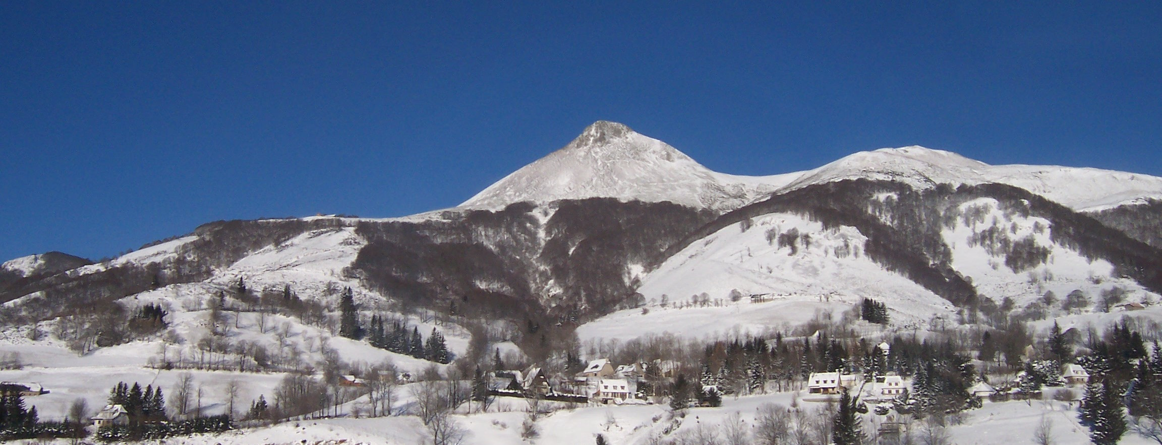
The Puy Griou is a summit at an altitude of 1,690 meters in the Mounts of Cantal, located on the ridge line between the valleys of the Cère and the Jordanne, partially situated in the municipalities of Saint-Jacques-des-Blats and Mandailles.
- Category
- Photo Spots
- Location
- Vic-sur-Cere, France
- Coordinates
- 45.08030, 2.70611
- How to get there
- Google MapsApple MapsOpenStreetMap
- Wikidata
- Q568090
What is Puy Griou?
Puy Griou is a Photo Spots place on VeroMaps. Other places close by: Château d'eau du Lioran, Fontaine de Bredons, Château de Beccoire, Comblat-le-Château.
Where is Puy Griou?
Puy Griou is in Vic-sur-Cere, France. Coordinates: 45.08030, 2.70611.
How do I get to Puy Griou?
Puy Griou is at Vic-sur-Cere, France (45.08030, 2.70611). Enter these coordinates in Google Maps, Apple Maps or OpenStreetMap for walking, cycling or driving directions.