Photo corners
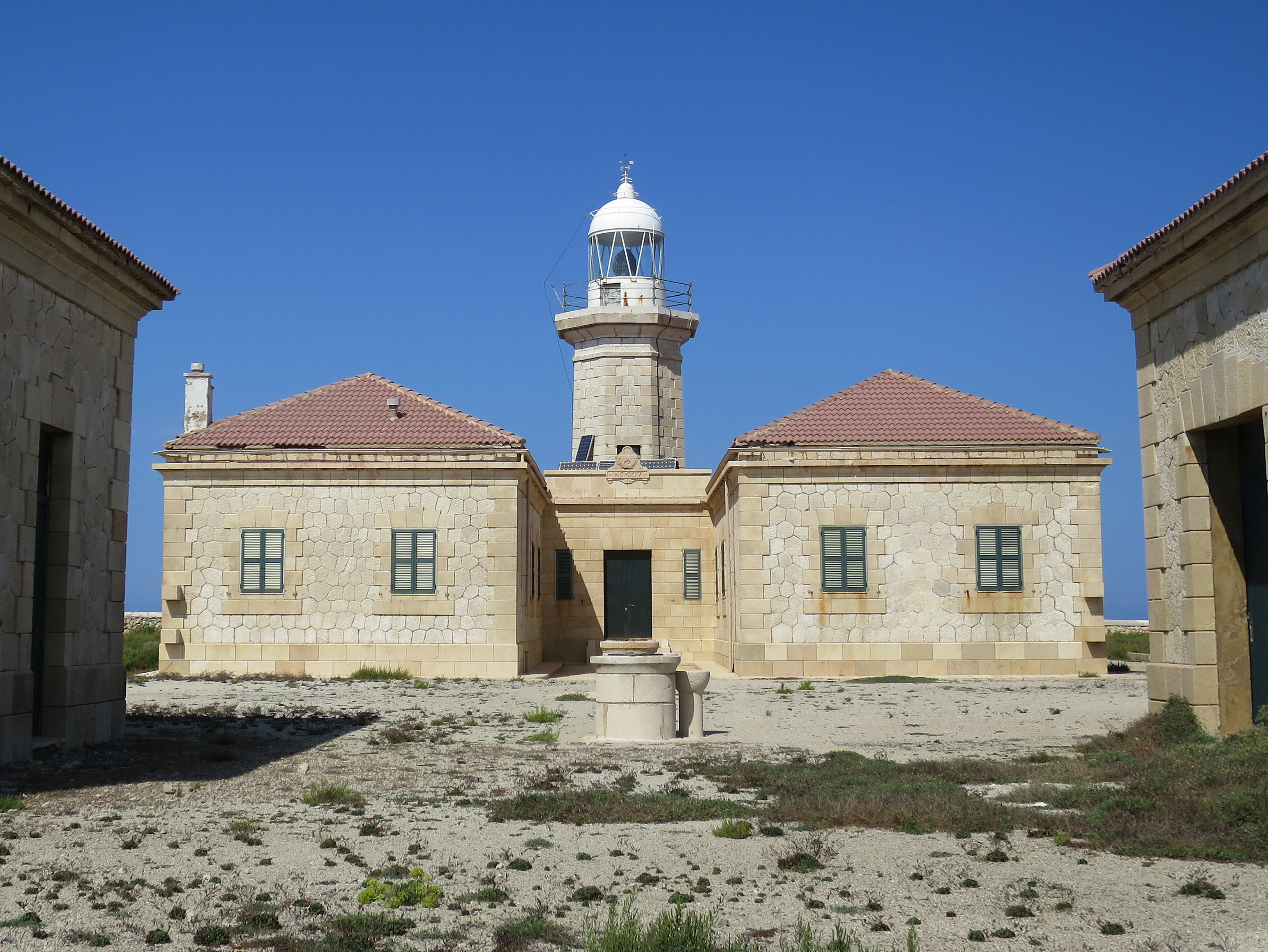
Punta Nati Lighthouse
Ciutadella, Spain
The Punta Nati Lighthouse is an active aid to navigation located on the rocky north western coast of the Spanish island of Menorca. The lighthouse was built following demands from the French authorities to light the northern coast of the island. This was primarily in response to the sinking of the French steamship Général Chanzy nearby in 1910, during which 156 passengers and crew lost their lives. Designed by the engineer Mauro Serret, Punta Nati was constructed rapidly in just over a year, it became operational in 1913, and was fully completed in 1914. The loss of the Général Chanzy was the catalyst for building the light, but a number of other shipwrecks had also occurred in the area despite the presence of the lighthouse at Cavalleria, which was completed in 1857. Construction of a third lighthouse on the northern coast at Favàritx began in 1917, which was also designed by Serret.
- Category
- Photo Spots
- Location
- Ciutadella, Spain
- Coordinates
- 40.05006, 3.82359
- How to get there
- Google MapsApple MapsOpenStreetMap
- Wikidata
- Q5856471
What is Punta Nati Lighthouse?
Punta Nati Lighthouse is a Photo Spots place on VeroMaps. Other places close by: s'Hostal quarries, Cap d’Artrutx Lighthouse, Castle of Santa Àgueda, Cova des Coloms.
Where is Punta Nati Lighthouse?
Punta Nati Lighthouse is in Ciutadella, Spain. Coordinates: 40.05006, 3.82359.
How do I get to Punta Nati Lighthouse?
Punta Nati Lighthouse is at Ciutadella, Spain (40.05006, 3.82359). Enter these coordinates in Google Maps, Apple Maps or OpenStreetMap for walking, cycling or driving directions.