Photo corners
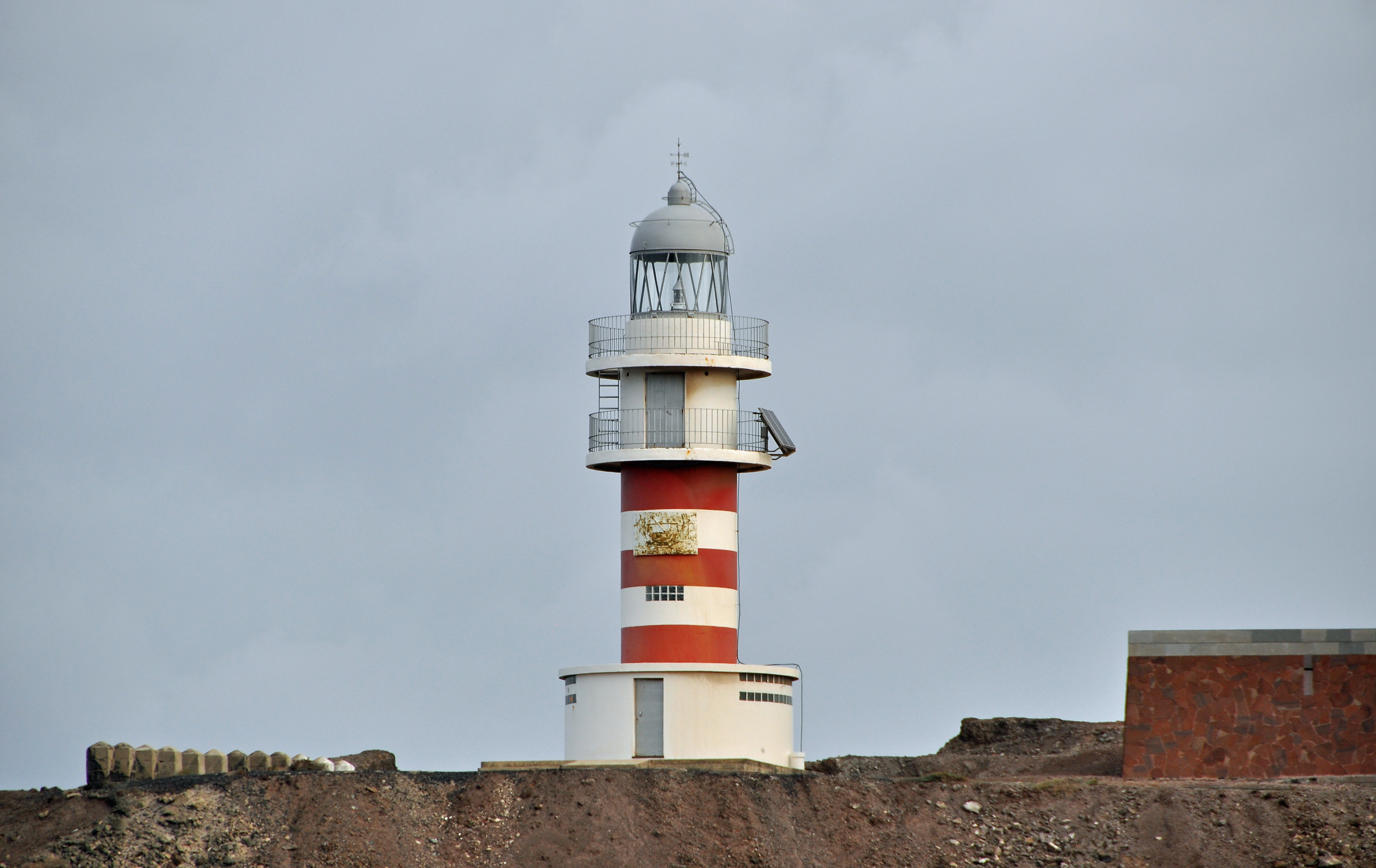
Punta de Arinaga Lighthouse
Cruce de Arinaga, Spain
The Punta de Arinaga Lighthouse (Spanish: Faro de Punta de Arinaga) is an active lighthouse on the Spanish island of Gran Canaria in the Canary islands. The current lighthouse tower is the third to be constructed on the rocky headland of Punta Arinaga, near the town of the same name in the municipality of Agüimes. Arinaga is on the south-east side of the island and marks the coastline between the Maspalomas lighthouse to the south and the Punta de Melenara lighthouse of Telde to the north.
- Category
- Photo Spots
- Location
- Cruce de Arinaga, Spain
- Coordinates
- 27.86400, -15.38472
- How to get there
- Google MapsApple MapsOpenStreetMap
- Wikidata
- Q76885
What is Punta de Arinaga Lighthouse?
Punta de Arinaga Lighthouse is a Photo Spots place on VeroMaps. Other places close by: Punta de Melenara Lighthouse, Castle of San Cristóbal, Maspalomas Lighthouse, Muralla de Las Palmas.
Where is Punta de Arinaga Lighthouse?
Punta de Arinaga Lighthouse is in Cruce de Arinaga, Spain. Coordinates: 27.86400, -15.38472.
How do I get to Punta de Arinaga Lighthouse?
Punta de Arinaga Lighthouse is at Cruce de Arinaga, Spain (27.86400, -15.38472). Enter these coordinates in Google Maps, Apple Maps or OpenStreetMap for walking, cycling or driving directions.