Local Legends
Pumperhöhle
Otting, Germany
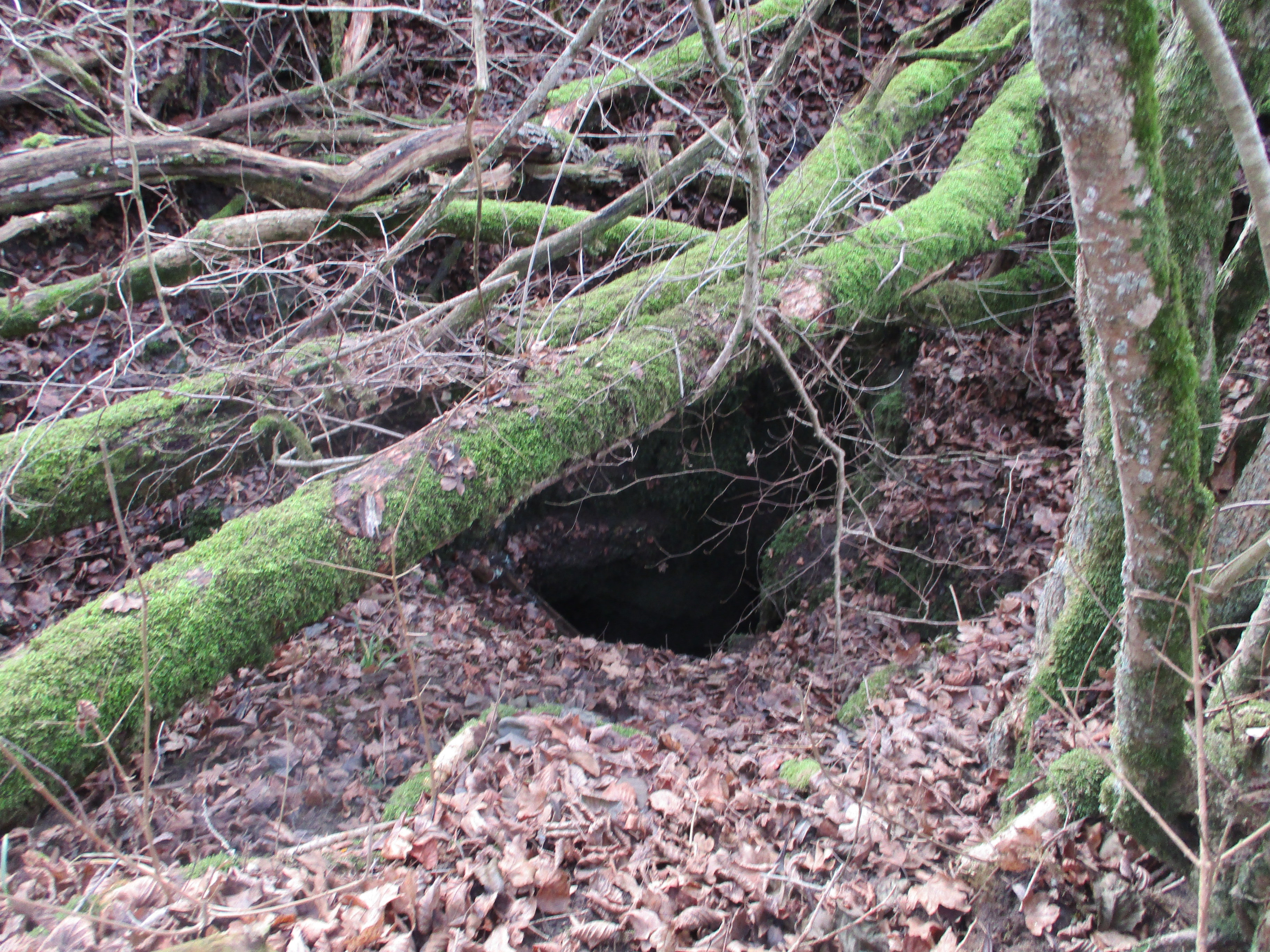
Das Naturdenkmal Pumperhöhle, offiziell Karsthöhle Pumperhöhle, auch als Wasserschlinger bezeichnet, befindet sich auf der Flur des Monheimer Ortsteils Weilheim (Monheim) im Landkreis Donau-Ries, Regierungsbezirk Schwaben in Bayern. Die Inschutzstellung erfolgte mit Verordnung vom Juni 1948.
- Category
- Local Legends
- Location
- Otting, Germany
- Coordinates
- 48.87165, 10.83269
- How to get there
- Google MapsApple MapsOpenStreetMap
- Wikidata
- Q59266050
What is Pumperhöhle?
Pumperhöhle is a Local Legends place on VeroMaps. Other places close by: Schloss Fünfstetten, Gasthof zur Ente, Gasthaus zum weißen Hahn, Gasthof zum Fuchsen.
Where is Pumperhöhle?
Pumperhöhle is in Otting, Germany. Coordinates: 48.87165, 10.83269.
How do I get to Pumperhöhle?
Pumperhöhle is at Otting, Germany (48.87165, 10.83269). Enter these coordinates in Google Maps, Apple Maps or OpenStreetMap for walking, cycling or driving directions.