Urbex & Abandoned
Prezydent coal mine
Poland
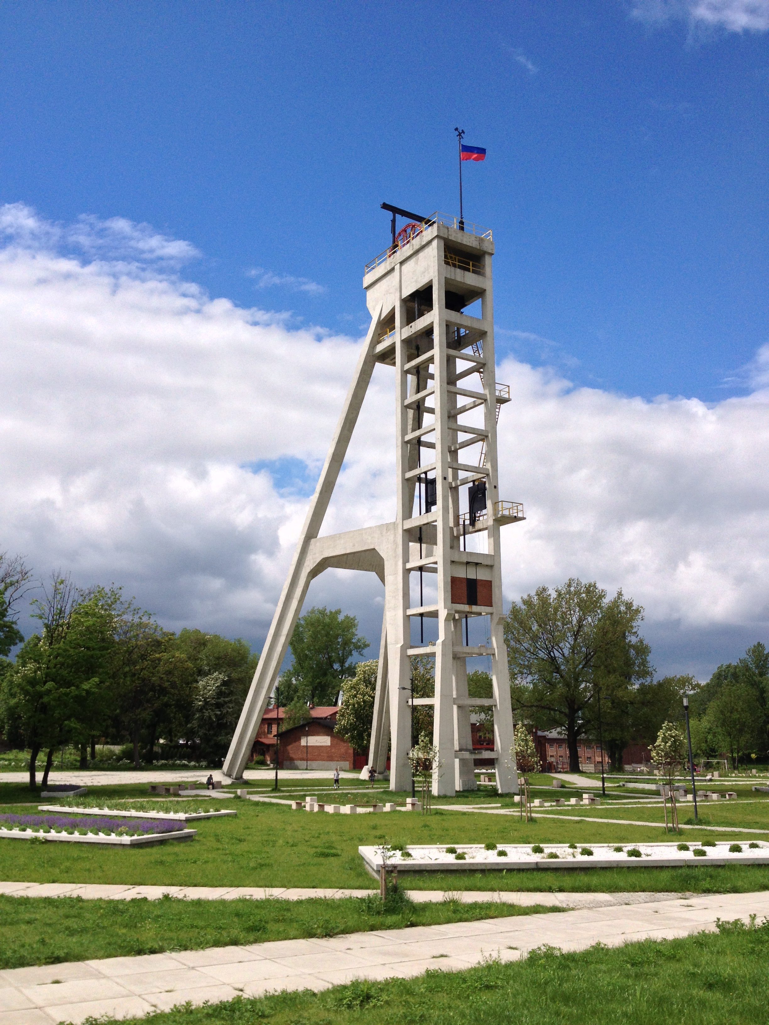
Die Steinkohlengrube Prezydent ist ein ehemaliges Steinkohlebergwerk in Chorzów, Woiwodschaft Schlesien, dem früheren Königshütte in Oberschlesien. Die Grube wurde in den Jahren 1931 bis 1933 erneuert. Das aus Stahlbeton errichtete und 42,5 Meter hohe Fördergerüst wurde von dem Architekten Ryszard Heilemann entworfen.
- Category
- Urbex & Abandoned
- Location
- Poland
- Coordinates
- 50.29806, 18.96722
- How to get there
- Google MapsApple MapsOpenStreetMap
- Wikidata
- Q6385917
What is Prezydent coal mine?
Prezydent coal mine is a Urbex & Abandoned place on VeroMaps. Other places close by: Prezydent winding tower, Król coal mine, Water tower in Świętochłowice, Gardener's house in Siemianowice Śląskie.
Where is Prezydent coal mine?
Prezydent coal mine is in Poland. Coordinates: 50.29806, 18.96722.
How do I get to Prezydent coal mine?
Prezydent coal mine is at Poland (50.29806, 18.96722). Enter these coordinates in Google Maps, Apple Maps or OpenStreetMap for walking, cycling or driving directions.