Restaurants
Powder River Station-Powder River Crossing
New York, United States
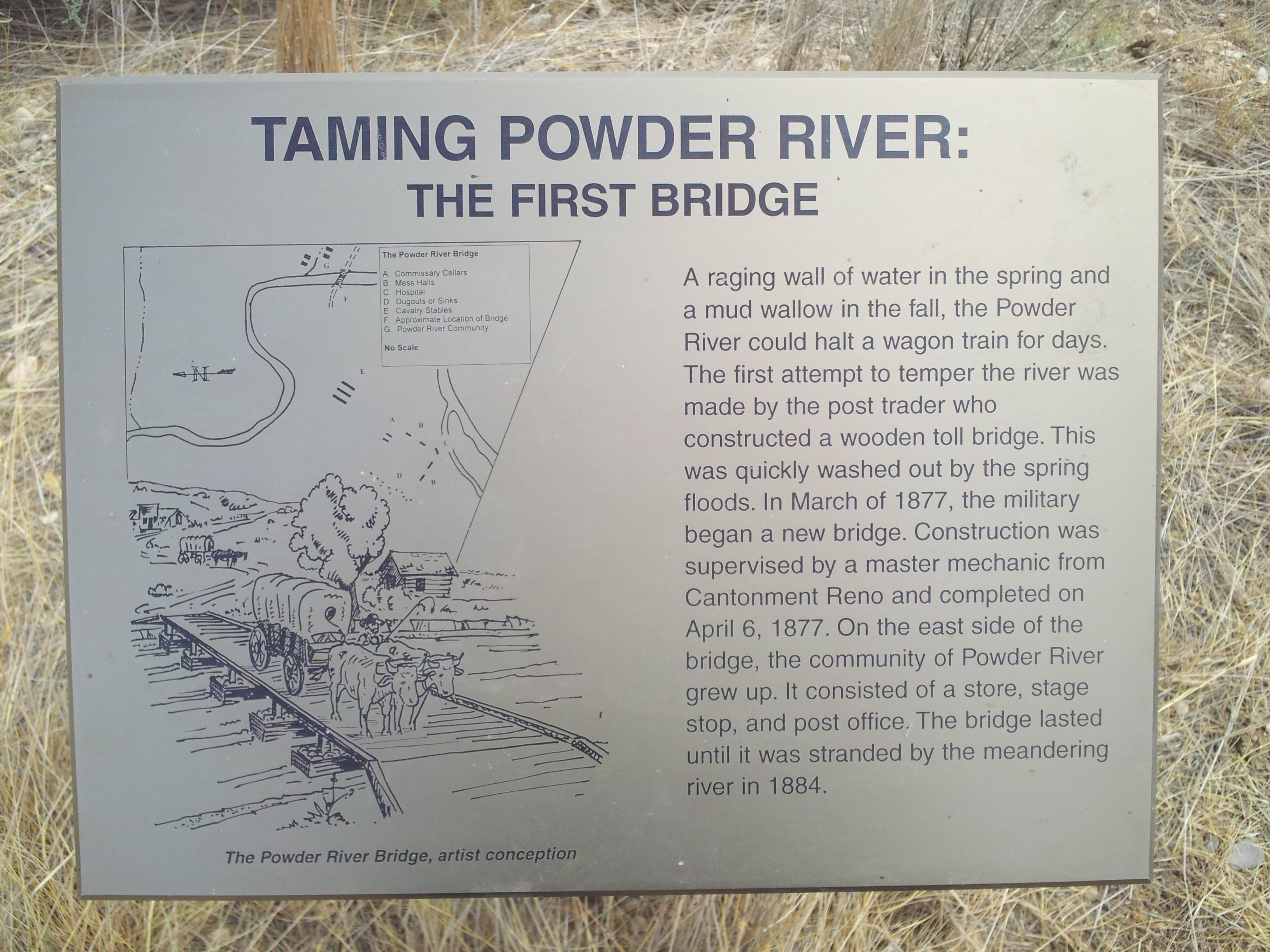
The Powder River Crossing, officially known as Powder River Station-Powder River Crossing (48JO134 and 48JO801), is an abandoned settlement located on the east bank of the Powder River in southeast Johnson County about twenty-four miles east of Kaycee, Wyoming. It developed after a wooden toll bridge was built across the Powder River in 1877, at a site that was originally used as a ford. With crossing secured, a settlement developed here in the late 19th century, incorporating a stage stop on the Bozeman Trail. The site is notable for having well-preserved wagon ruts from the pioneer era.
- Category
- Restaurants
- Location
- New York, United States
- Coordinates
- 43.78956, -106.24690
- How to get there
- Google MapsApple MapsOpenStreetMap
- Wikidata
- Q7235997
What is Powder River Station-Powder River Crossing?
Powder River Station-Powder River Crossing is a Restaurants place on VeroMaps. Other places close by: North Antelope Rochelle Mine, Eagle Butte Mine, Rawhide Mine, Dry Fork Mine.
Where is Powder River Station-Powder River Crossing?
Powder River Station-Powder River Crossing is in New York, United States. Coordinates: 43.78956, -106.24690.
How do I get to Powder River Station-Powder River Crossing?
Powder River Station-Powder River Crossing is at New York, United States (43.78956, -106.24690). Enter these coordinates in Google Maps, Apple Maps or OpenStreetMap for walking, cycling or driving directions.